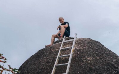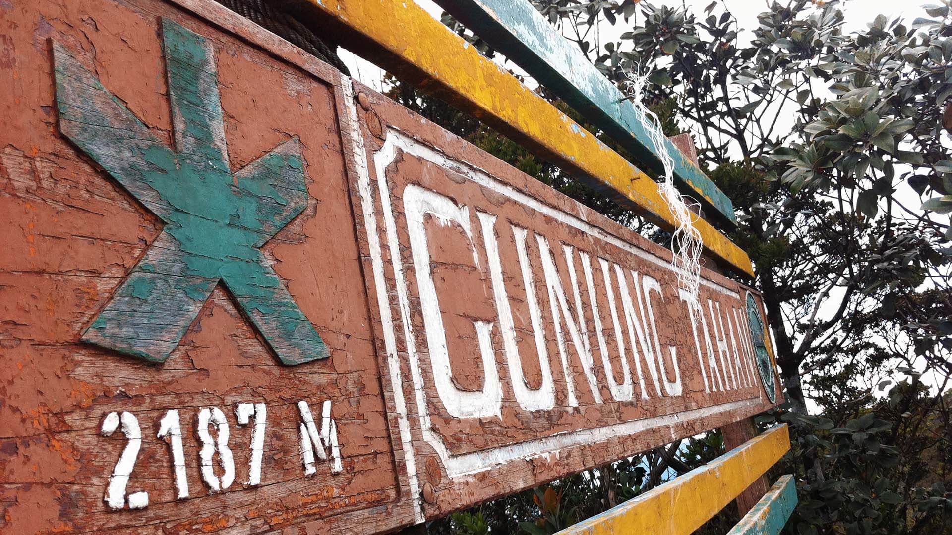
Gunung Tahan / Mount Tahan (2,187m)
Conquering Gunung Tahan, The Ultimate Adventure Quest!
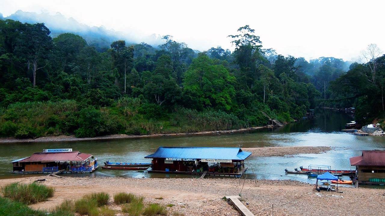
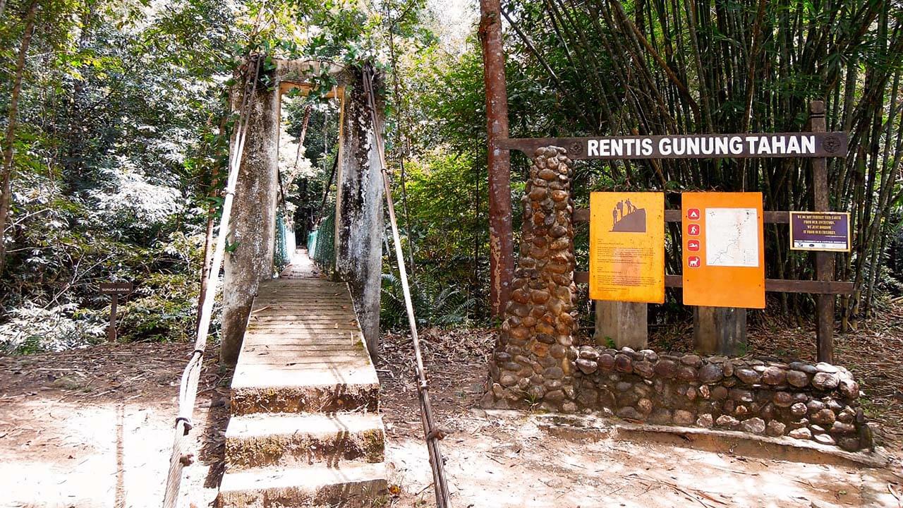
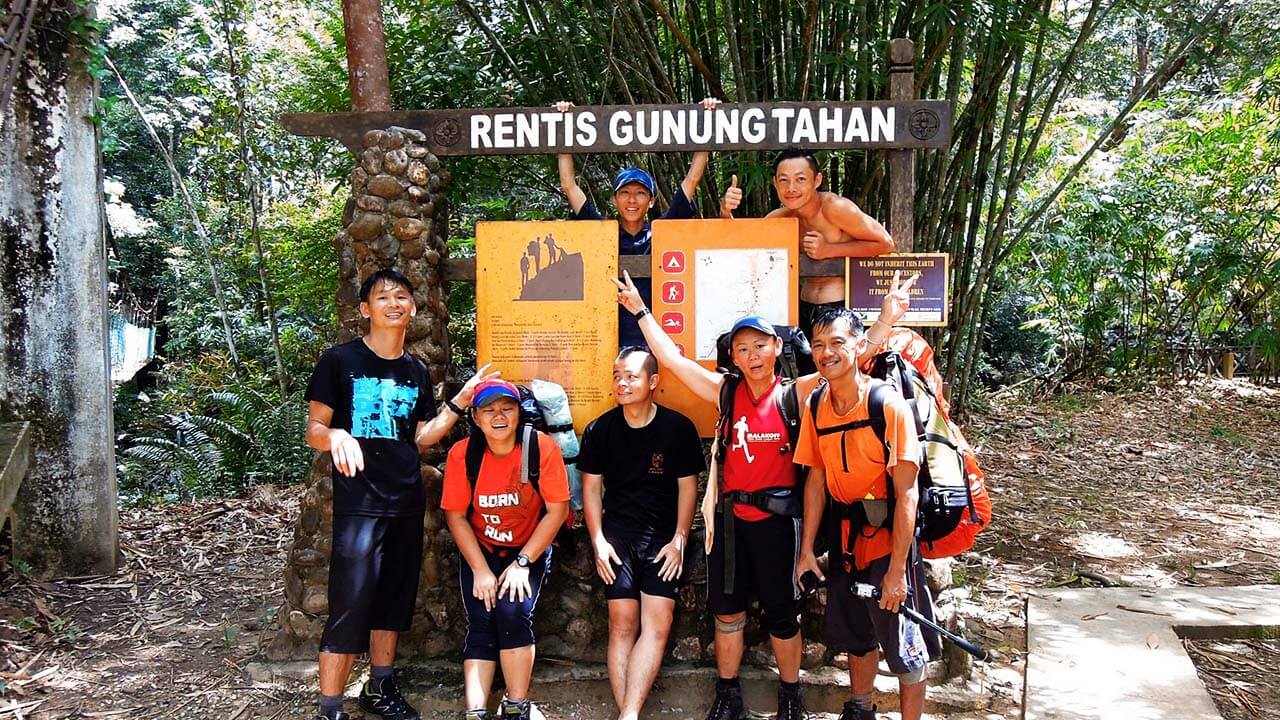
Kuala Tahan, the starting point of our adventure, is a picturesque Malaysian village nestled at the confluence of the Tahan and Tembiling Rivers in the Jerantut District of Pahang. Located a considerable distance from the bustling city of Kuala Lumpur, it provides a perfect escape into the wilderness. The average distance from Kuala Lumpur to Kuala Tahan is approximately 250 kilometers, with a driving time of around four to five hours.
Table of Contents
- Day 1: Excitement Builds and Preparations Begin
- Day 2: A Challenging Start and Unforeseen Delays
- Day 3: Conquering Hills and Enjoying the River
- Day 4: Rain, Leeches and A Temporary Halt
- Day 5: Uphill Battles and A Race Against Time
- Day 6: The Final Ascent and Challenging Descent
- Day 7: Home Sweet Home
- Conclusion
Day 1: Excitement Builds and Preparations Begin
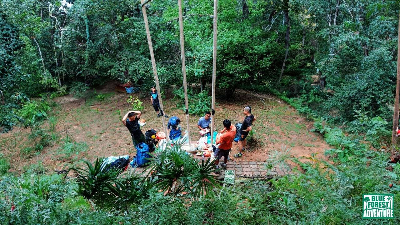
Lunch and getting to know each other.
With everything organized and our spirits high, we retired early, eager for the adventures that awaited us on the following day. Gunung Tahan, with its rugged terrain and natural wonders, beckoned us, promising an experience like no other.
It’s important to mention that this particular expedition followed the longer route, starting from Kuala Tahan and culminating at the summit, before descending via the Merapoh trail. Alternatively, for a less challenging option, one could choose the Merapoh-Merapoh route, which is relatively shorter and easier. The choice depends on your preference for a more strenuous or leisurely adventure.
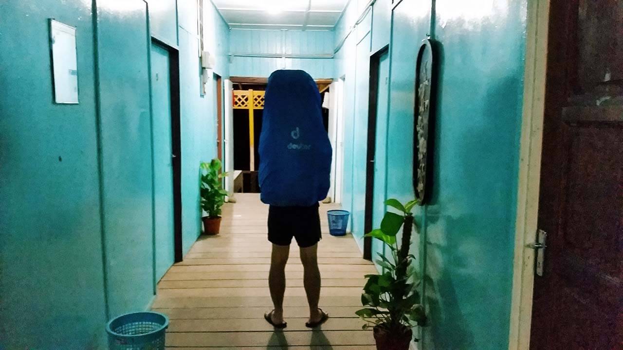
Full bag picture on Day #1. Heaviest bag I’ve ever carried.
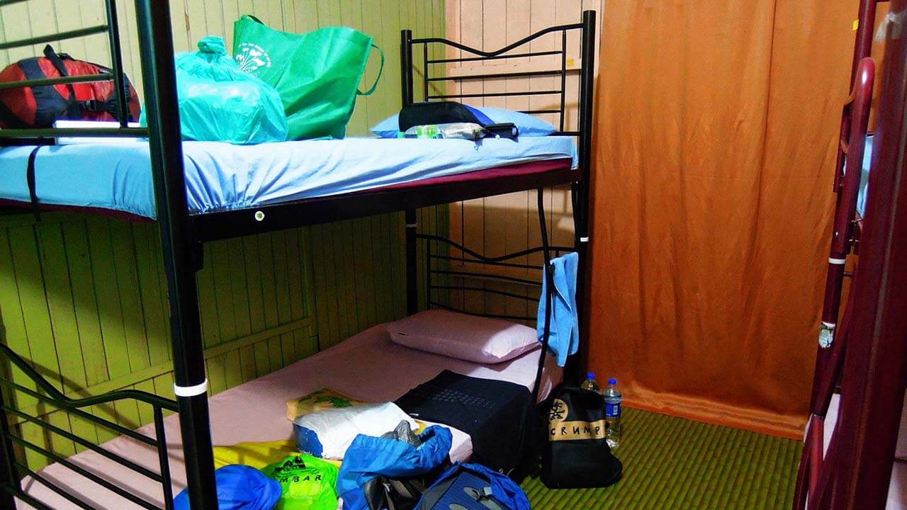
Our bunks for the night.
Day 2: A Challenging Start and Unforeseen Delays
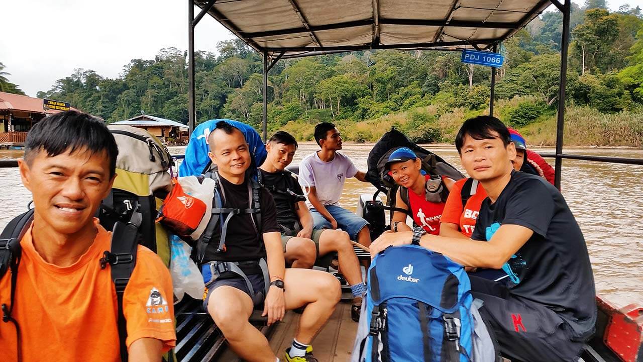
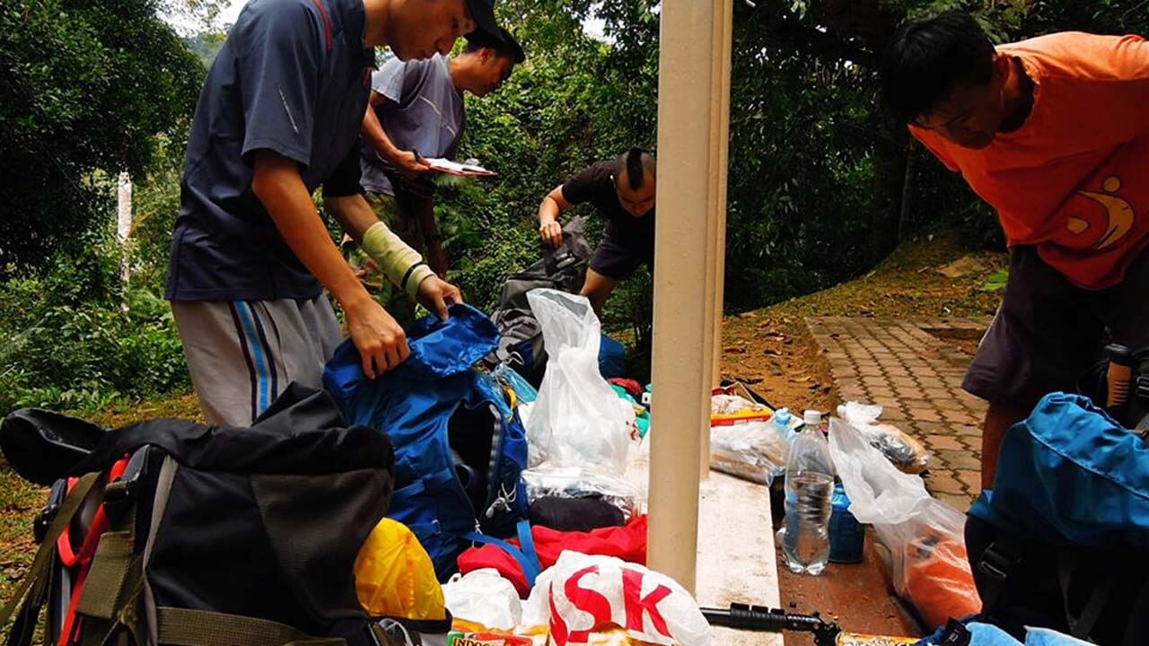
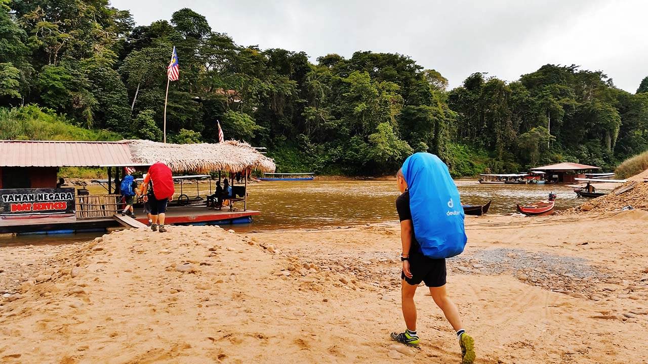
Our first task was to cross the river to reach the ranger office located on the other side. We hopped onto a boat at the jetty, enjoying the gentle sway of the water as it carried us to our destination. Upon arrival, we proceeded to the office for a mandatory bag content inspection. This step was part of the park’s procedures and rules, ensuring that all items we carried were declared, including gas canisters, plastics, socks, and other belongings, were brought back. By thoroughly examining our bags, the authorities aimed to prevent any damage to the pristine nature of Gunung Tahan.
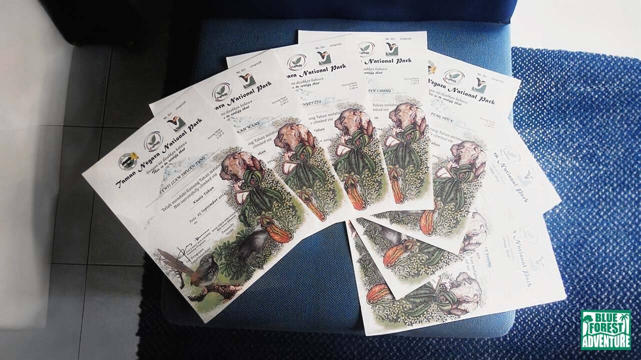
After completing the bag inspection, we went through the standard registration process, which covered details for the certification for our participation in the entire adventure. This certification would serve as a testament to our accomplishment once we successfully completed the journey.
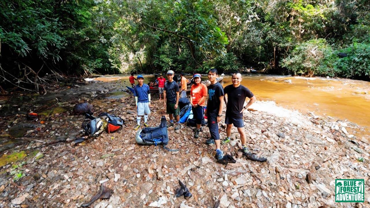
1st minor river crossing and bag checks.
Finally, around 2 p.m., our new guides, Abuk and two other local natives, arrived, saving the day and rejuvenating our spirits. Though the delay had cost us valuable time, we were determined to make the most of the remaining daylight hours, despite the impending four-hour trek ahead.
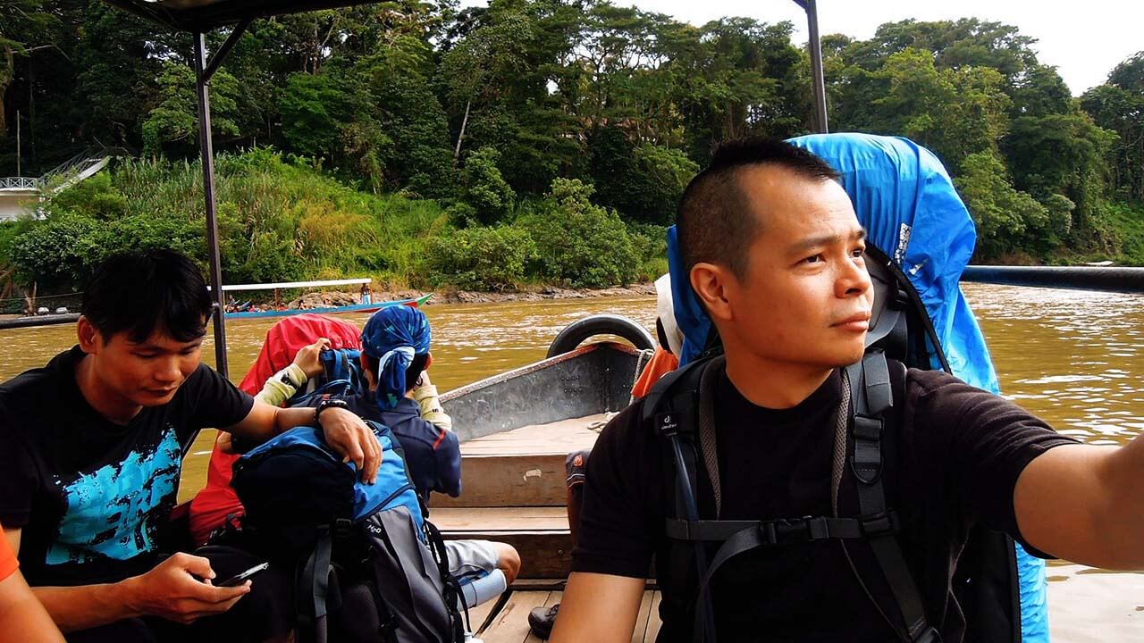
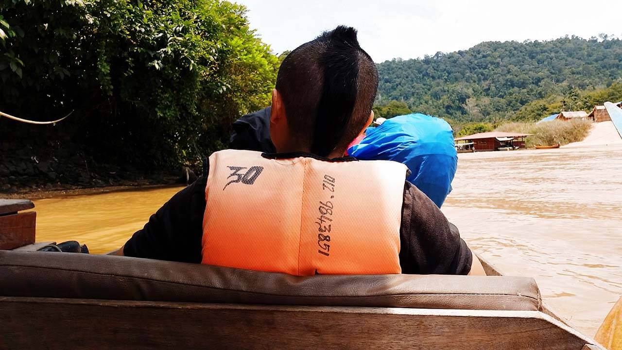
To expedite our journey, a collective decision was made to take a boat to the midway point known as Latah Bekuh and continue our trek on foot from there. The speed-boat ride provided a brief respite and allowed us to admire the surrounding scenery as we glided along the tranquil waters.
Speed boat ride.
Touchdown at Latah Bekuh after the quick boat ride.
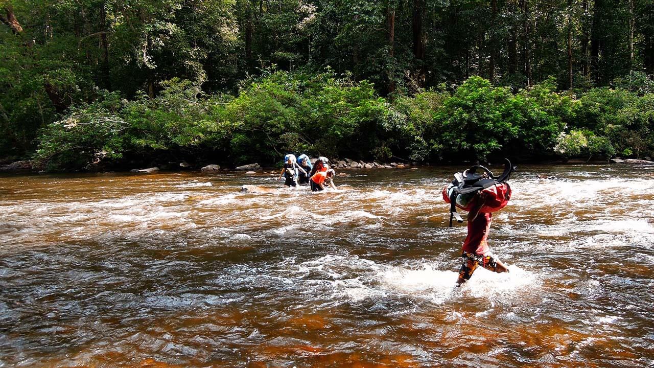
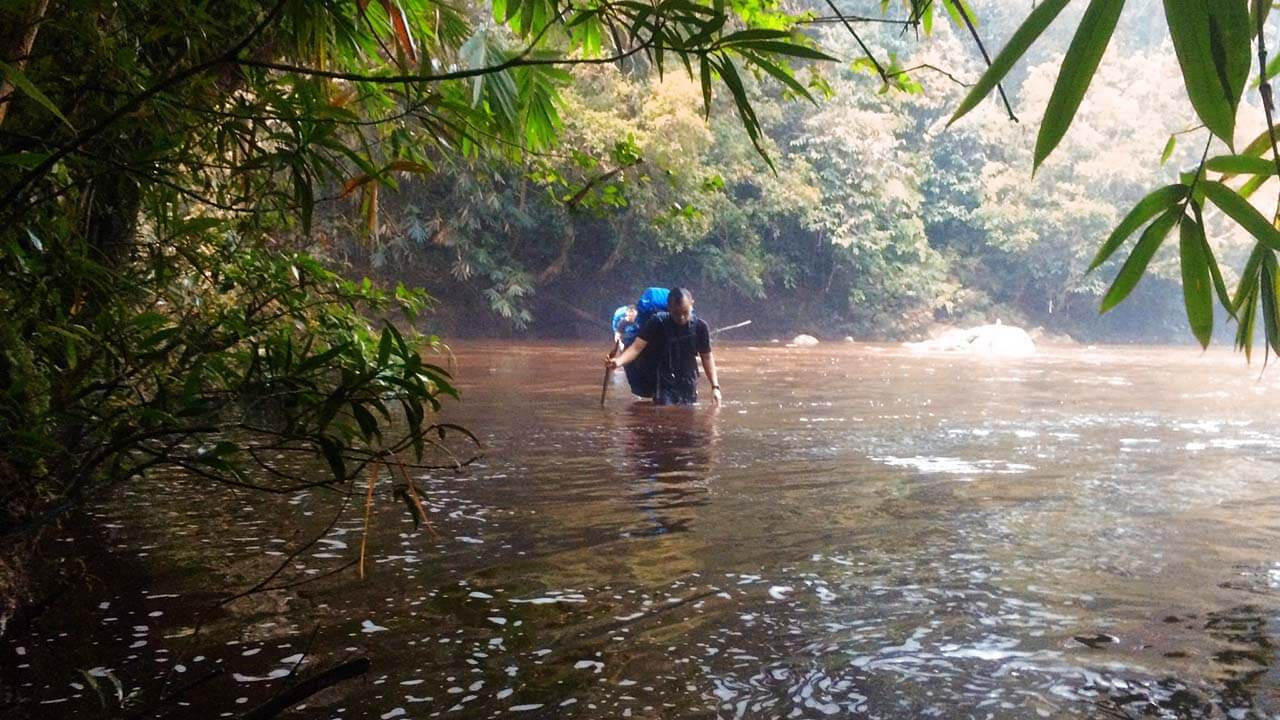
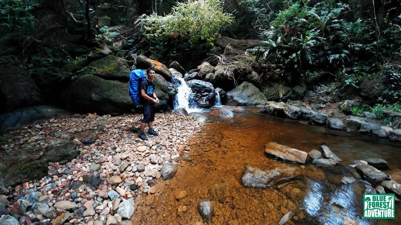
1st major river crossing.
Stay tuned for the continuation of our adventure, as we delve into the challenges and triumphs of the upcoming days, immersing ourselves deeper into the heart of Gunung Tahan’s untamed wilderness.
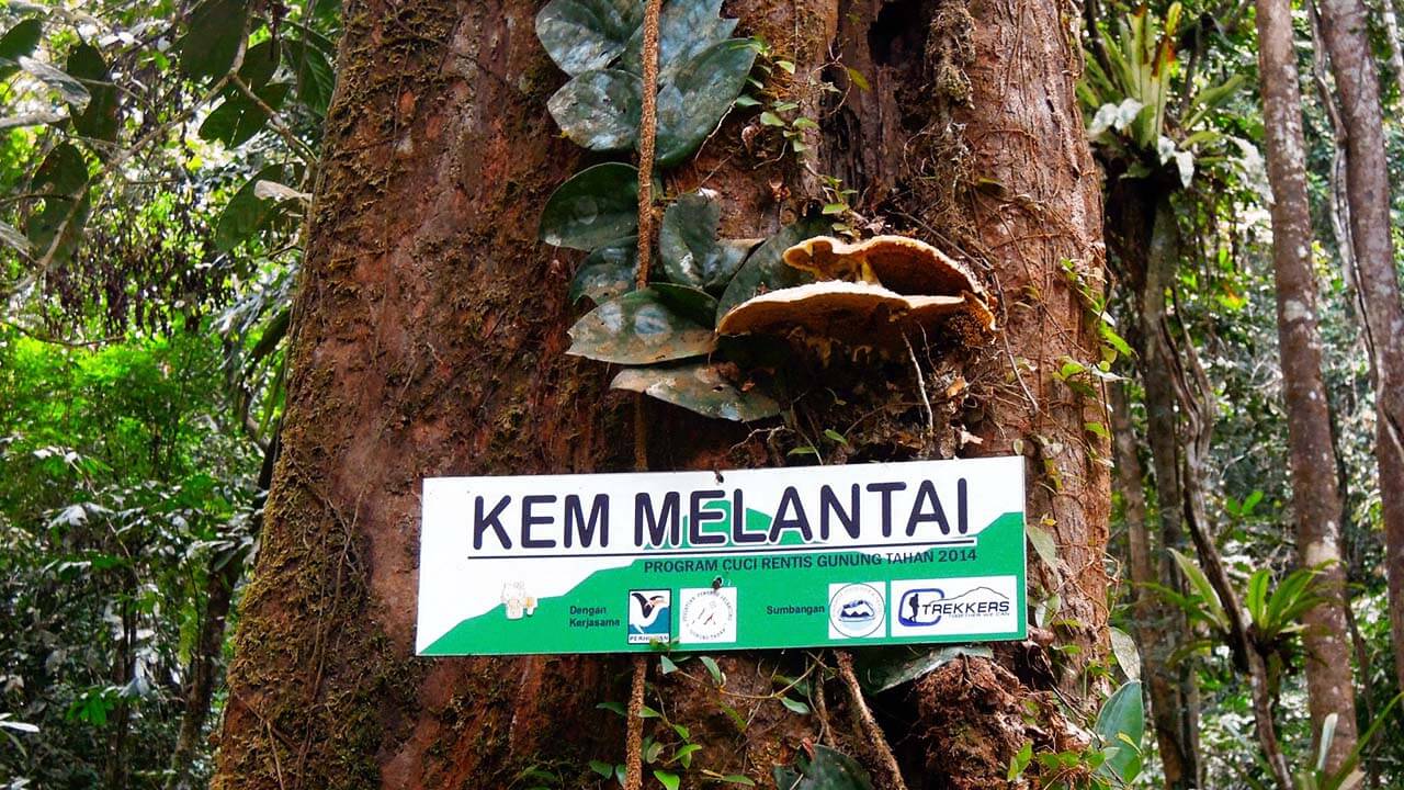
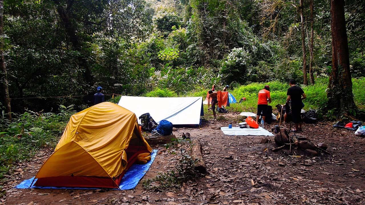
Our first stop and camp at Kem Melantai.
Day 3: Conquering Hills and Enjoying the River
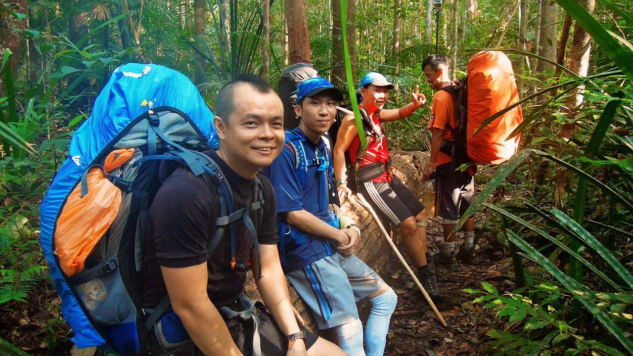
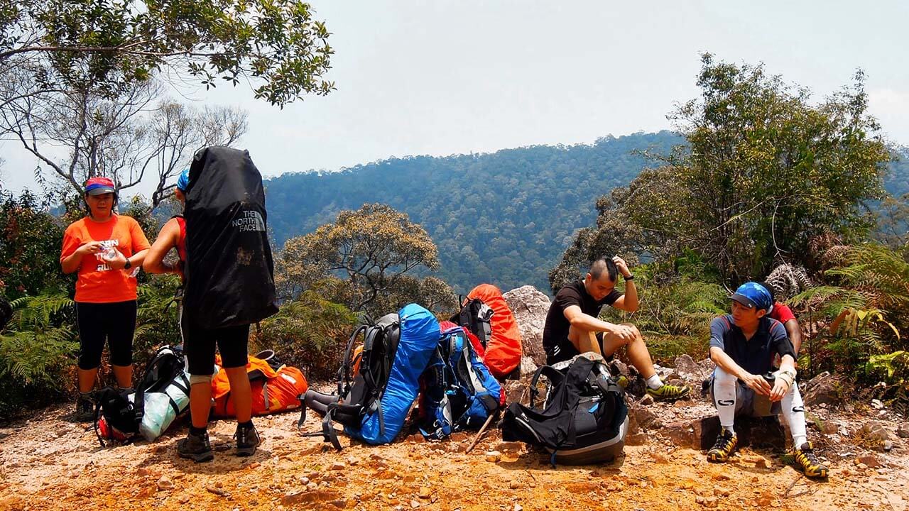
One of the few group breaks we took along the way.
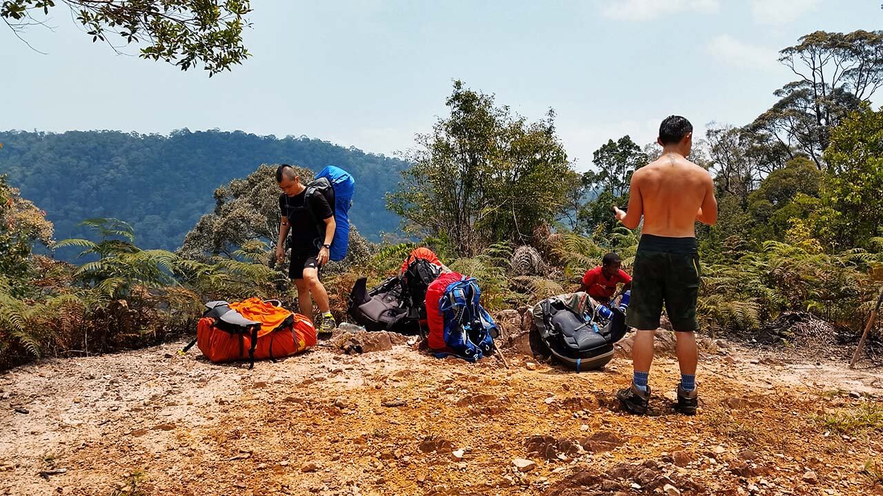
Finally, after several arduous hours under the scorching midday sun, we reached the bare peak of Gunung Rajah. The view from the summit was awe-inspiring, showcasing the rugged beauty of the surrounding landscape. We had covered approximately 9 kilometers and gained close to 400 meters of elevation. However, we knew that our descent awaited us, and we would be gradually losing all that hard-earned elevation as we made our way down to Kem Puteh.
Gunung Rajah summit.
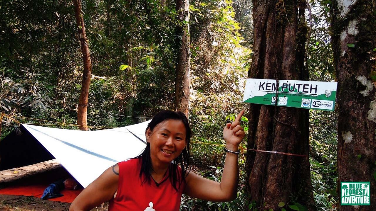
Kem Puteh (156m).
Stay tuned for the next chapter of our expedition, as we journey from Kem Puteh to Kem Teku, immersing ourselves deeper into the heart of Gunung Tahan’s untamed wilderness.
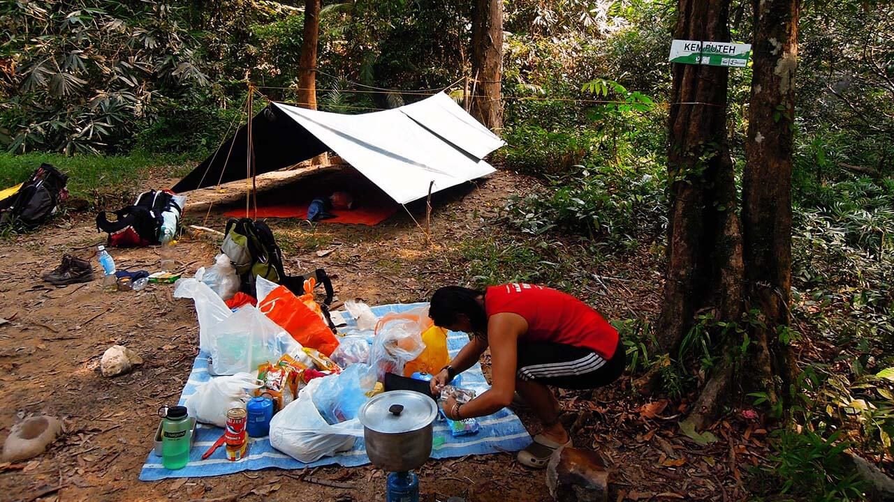
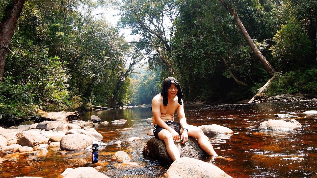
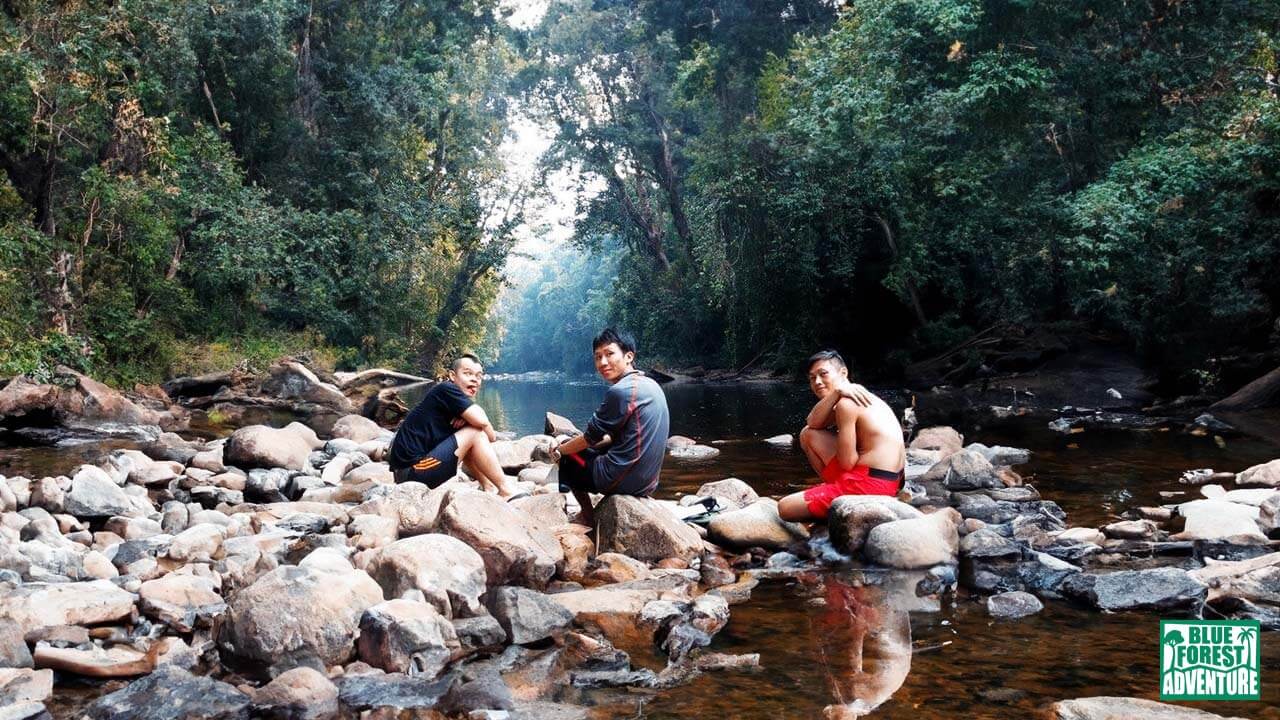
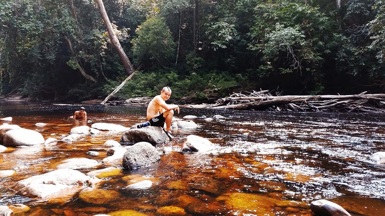
Setting up camp, dipping in the river, and enjoying plenty of rest.
Day 4: Rain, Leeches, and a Temporary Halt
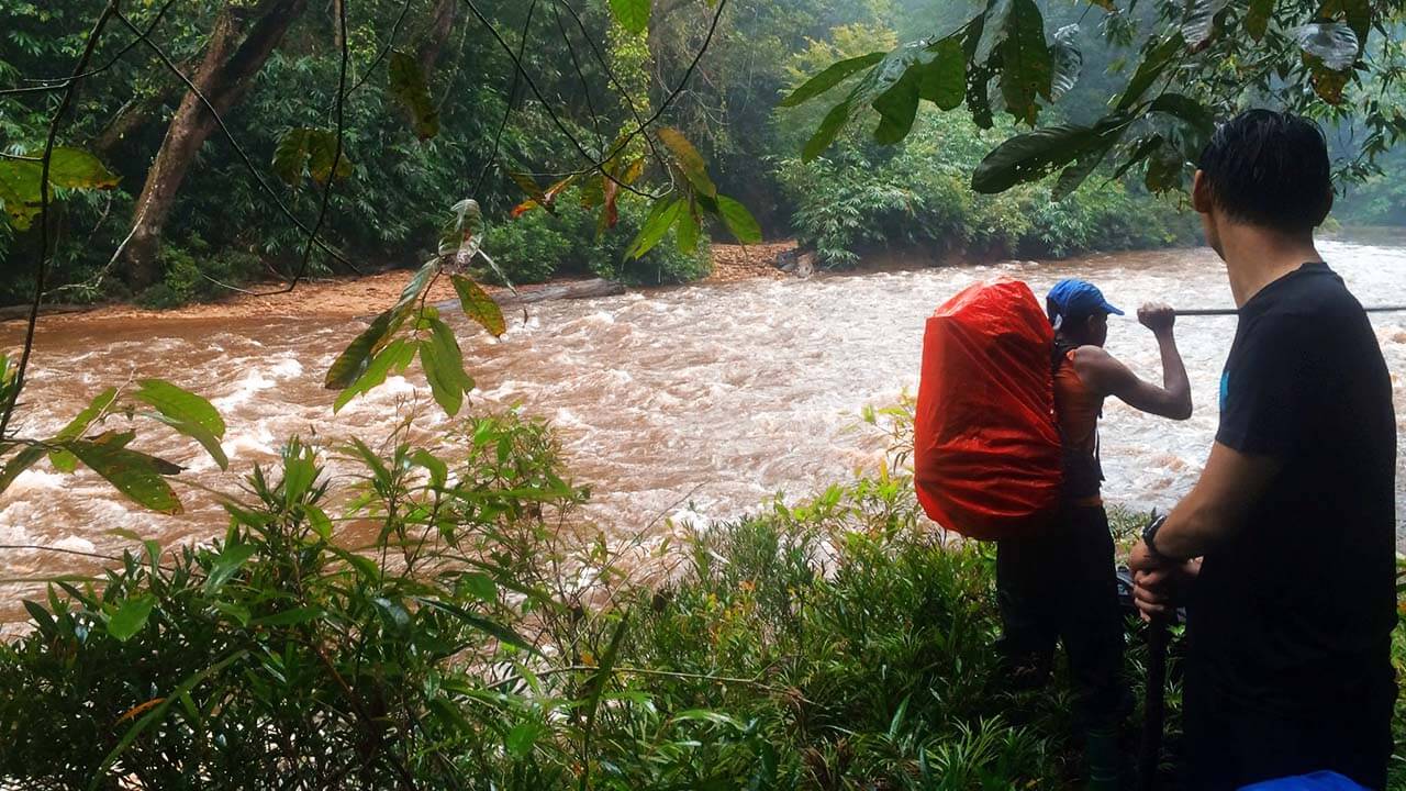
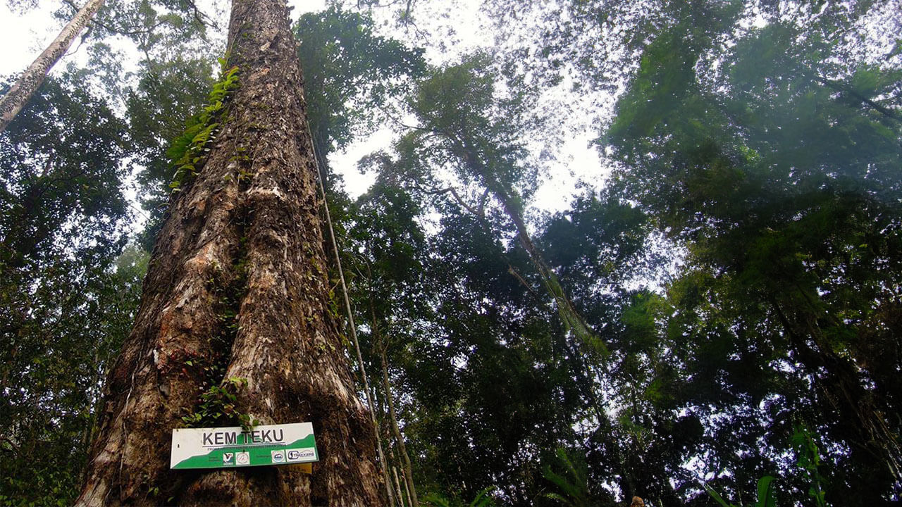
However, the rain brought about a significant change in our plans. The rising water levels in the river made it unsafe to cross, altering our intended route. Originally, we had intended to cross the river seven times to reach the next campsite. But with the current conditions, our goal for the day was simply to reach Kem Teku (168m), approximately 7 kilometers away, which we estimated would take us around 3 hours.
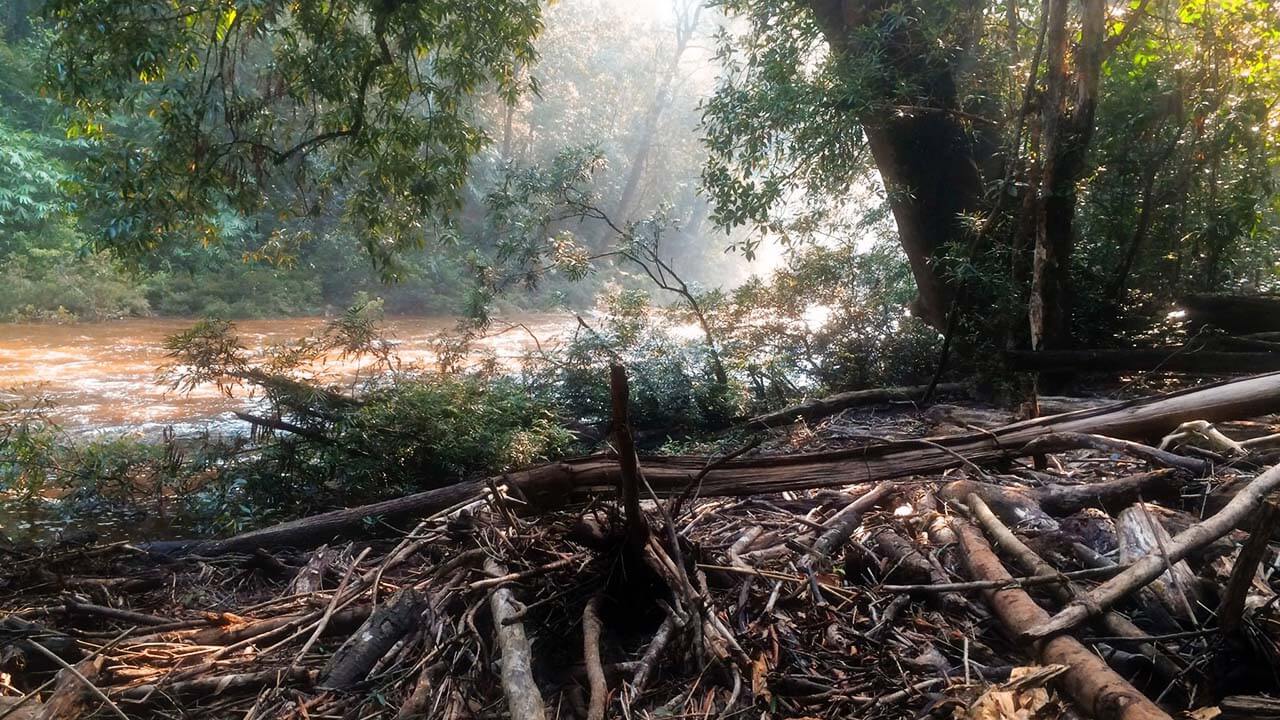
Swollen river.
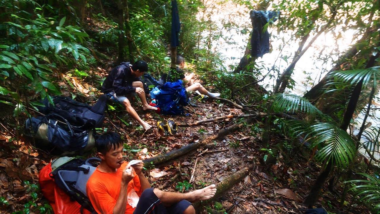
We relieved ourselves of our wet socks and shoes.
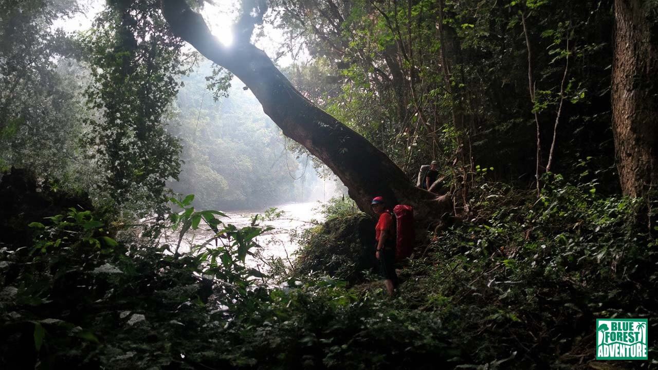
Although our extended rest had allowed us to recharge, the humidity was still high, and we were drenched in sweat as we resumed our journey. We traversed along an old and narrow trail that hugged the cliff, navigating through fallen branches and dead trees.
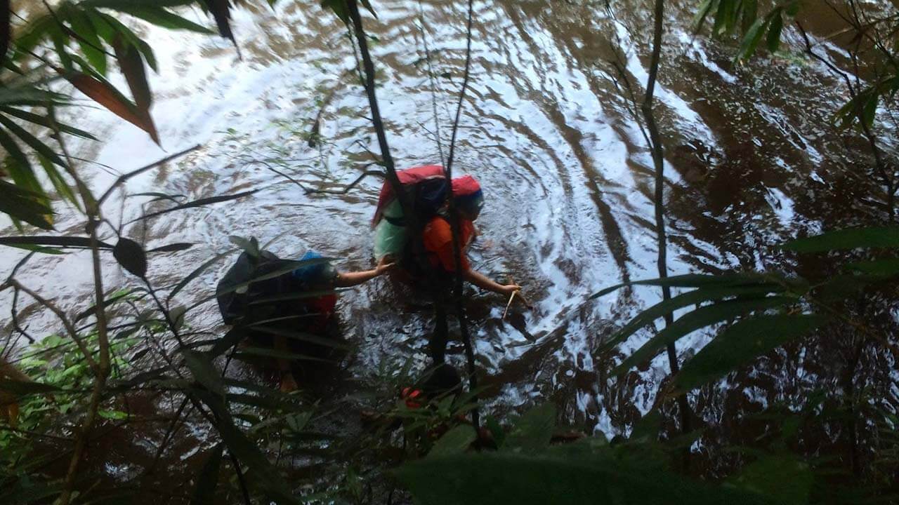
One of the off-path tracks we took to bypass some of the rivers.
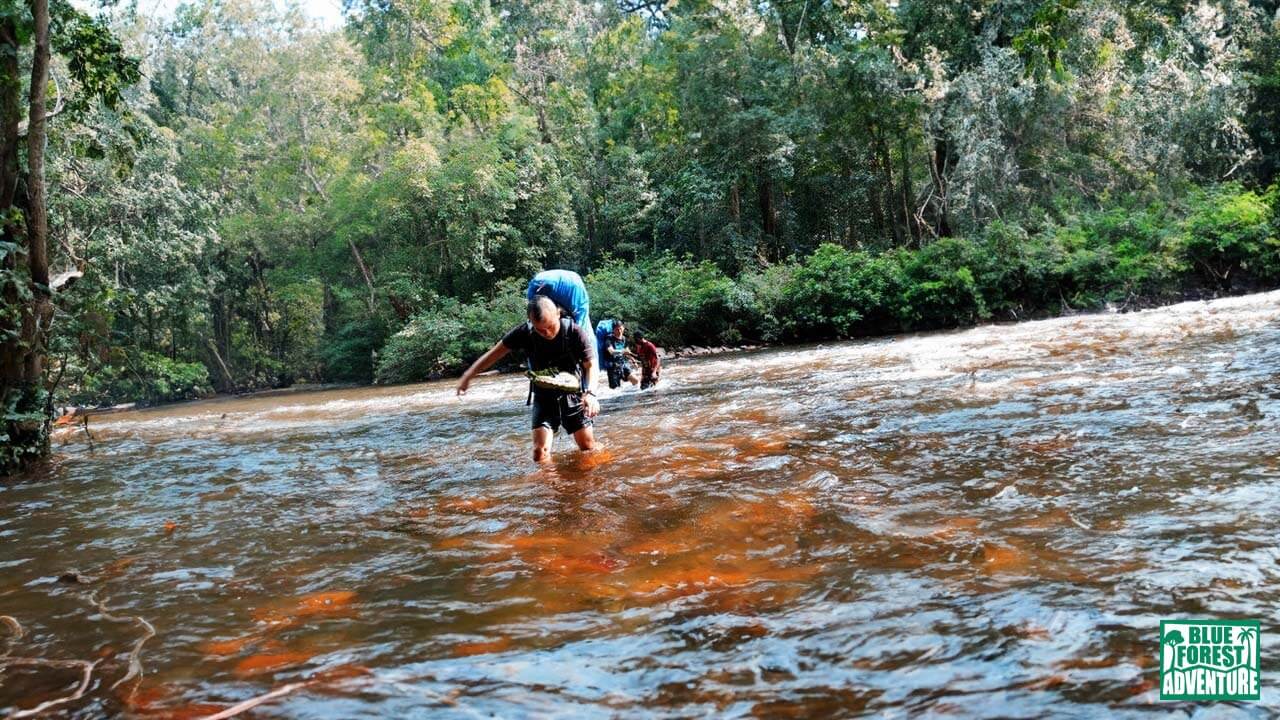
At the final river crossing, caution was paramount. The undercurrent was strong, disguised beneath a deceptively calm surface. We moved with utmost care, aware of the potential danger should we lose our footing. With perseverance and teamwork, we successfully crossed the river and reached solid ground. However, it was evident that the path ahead deviated from the typical route due to the detour forced upon us by the heavy downpour.
Waist level river crossing.
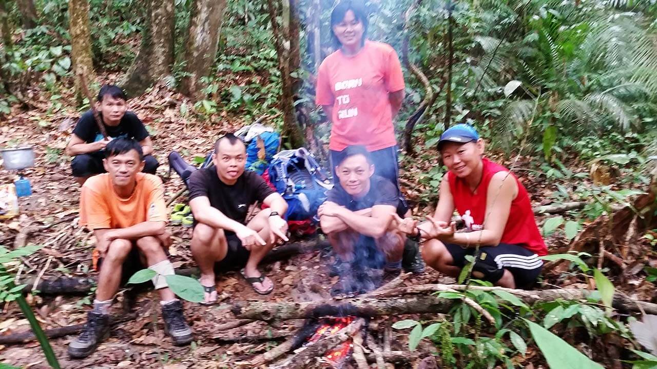
As night fell, we gathered for dinner, grateful for the nourishment that would fuel us for the challenges that lay ahead. Once again, Abuk showcased his impressive fire-starting skills, defying the damp environment. With a reasonably large campfire crackling before us, we savored the warmth and camaraderie. Fatigue settled in, and most of us retired to our tents by 9 p.m., ready to rest and recharge for the next day’s adventures.
Stay tuned as we continue our journey through Gunung Tahan’s untamed wilderness, eager to uncover more remarkable moments and triumph over the challenges that await us.
Kem Teku (168m).
Day 5: Uphill Battles and a Race Against Time
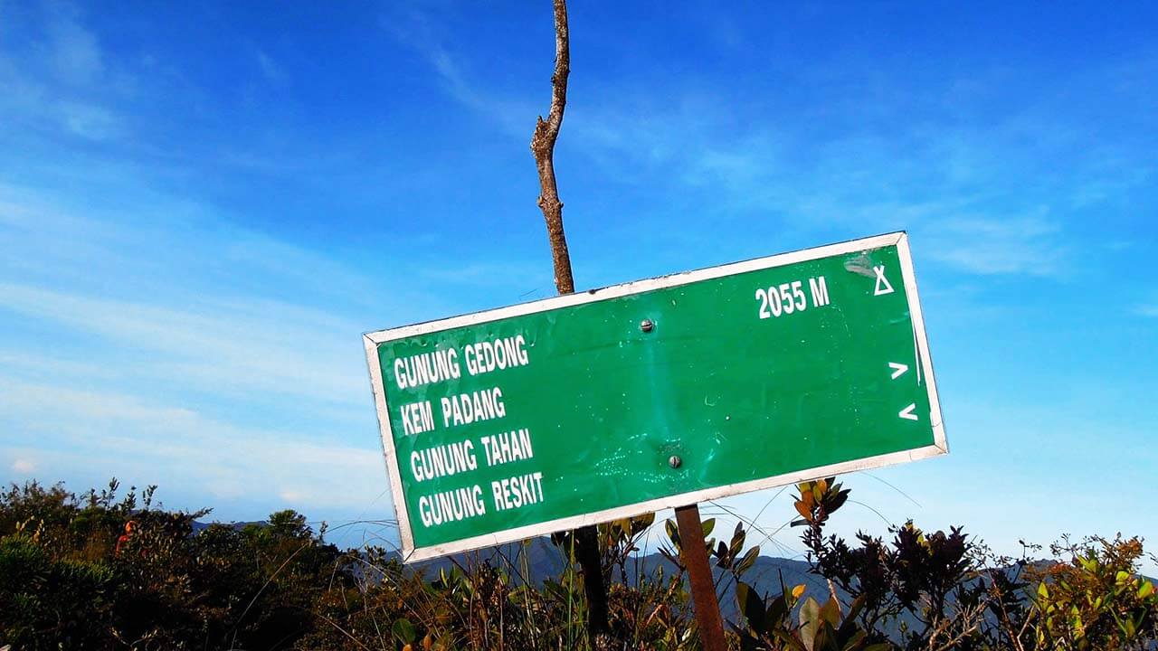
Due to the time lost during the previous day’s detour, we were compelled to cover a significantly greater distance. Our destination for the day was Gunung Gedung (2,055m), a staggering 24 kilometers away. In essence, we needed to ascend a daunting 1,800 meters within a single day.
As we trekked onwards, we encountered a water point at Gunung Pondok Dua (1,110m), where the swifter members of our group had already gathered. Thirsty and determined, we replenished our water reservoirs with the brownish water flowing down the rocks. Despite its appearance, the water was said to be rich in minerals, serving as a vital source of hydration in this unforgiving terrain.
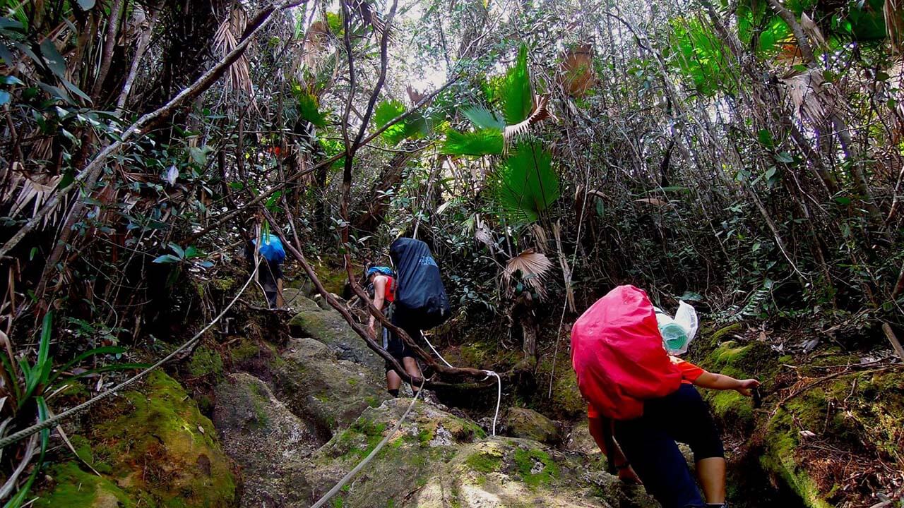
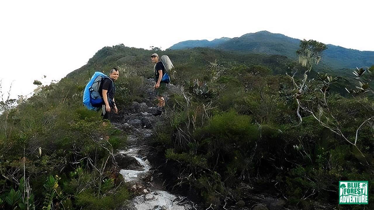
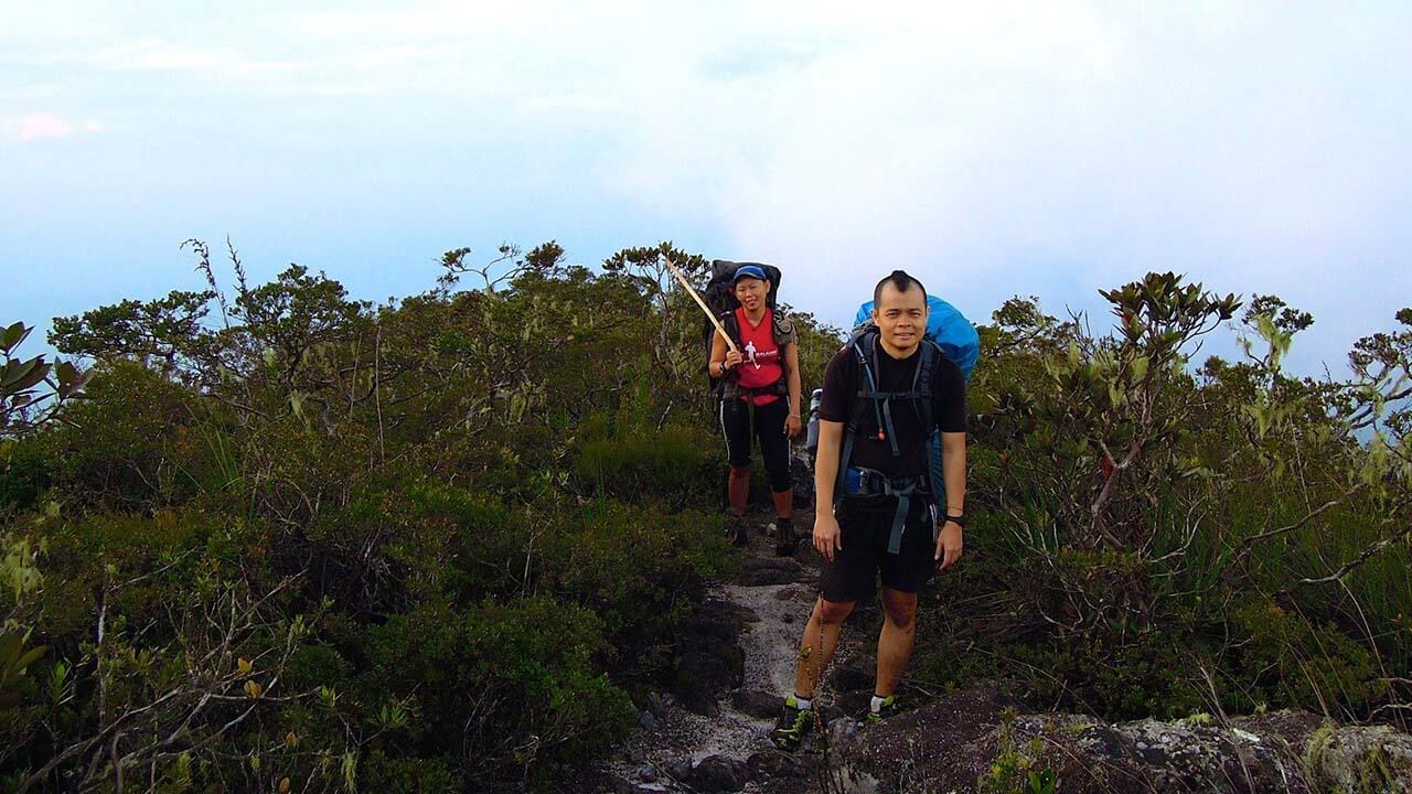
As we embarked on the fifth day of our expedition, the challenges seemed to intensify. With each step, we faced an uphill battle, made even more demanding by the weight we carried on our backs. It was a day that would truly test our physical and mental fortitude.
All the way up!
Up, up, and even further up.
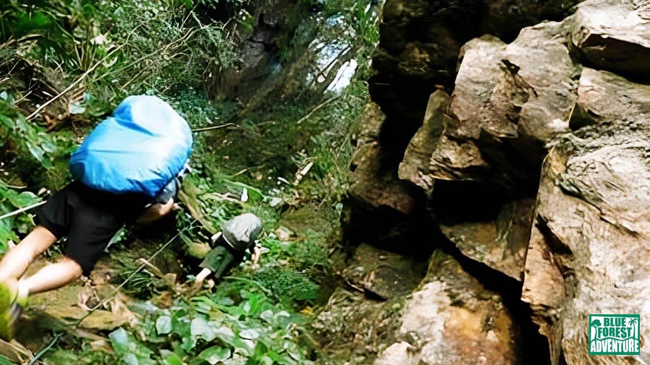
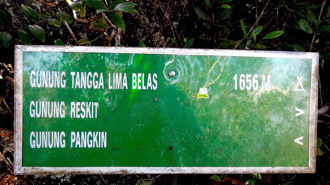
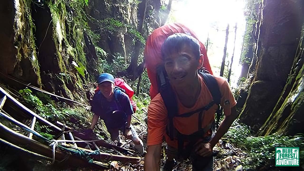
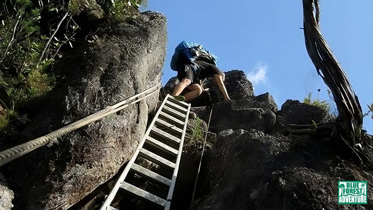
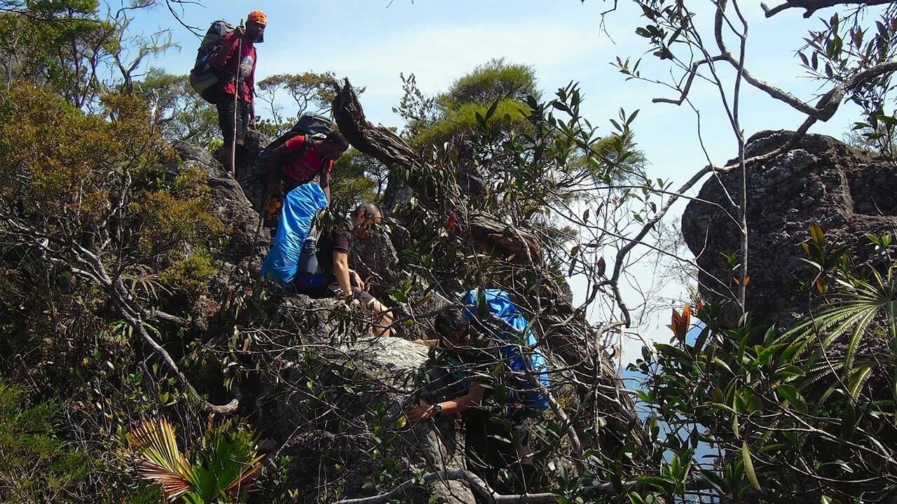
Eventually, we passed through Gunung Pangkin (1,462m), a point we had originally planned to reach the day before. About 100 meters further, as the terrain grew steeper, we encountered the famous “Tangga Lima Belas” at an estimated height of 1,656 meters. Here, the presence of metal stairs and ropes became more frequent, offering assistance as we tackled the increasingly vertical and technical sections of the climb.
By 5 p.m., we were still ascending, summoning our last reserves of energy to push forward. As we persisted, the landscape began to open up, providing a glimmer of hope that our destination might be within reach.
I vividly recall reaching Kem Gedung just as darkness began to settle in, accompanied by strong gusts of wind. Determined to make one final effort, we swiftly set up our tent before joining the rest of the group for a well-deserved dinner. However, our tent wasn’t without company, as a couple of leeches had taken up residence inside. Discarding them outside, we left them to contend with the chilly temperature and winds.
While we cooked our meal, rain unexpectedly poured down, drenching us halfway through the process. A resident cat paid an unwelcome visit to our main camping area, forcing us to shoo it away repeatedly.
Exhausted and weary, I cannot speak for the others, but I slept soundly that night. The physical and mental exertion of the day had taken its toll, leaving us in need of much-deserved rest.
Join us in the upcoming days as we face the culmination of our journey, pushing our limits to conquer the summit of Gunung Tahan, the crown jewel of Peninsular Malaysia.
The infamous Gunung Tangga Lima Belas (1,656m)
I vividly recall reaching Kem Gedung just as darkness began to settle in, accompanied by strong gusts of wind. Determined to make one final effort, we swiftly set up our tent before joining the rest of the group for a well-deserved dinner. However, our tent wasn’t without company, as a couple of leeches had taken up residence inside. Discarding them outside, we left them to contend with the chilly temperature and winds.
While we cooked our meal, rain unexpectedly poured down, drenching us halfway through the process. A resident cat paid an unwelcome visit to our main camping area, forcing us to shoo it away repeatedly.
Exhausted and weary, I cannot speak for the others, but I slept soundly that night. The physical and mental exertion of the day had taken its toll, leaving us in need of much-deserved rest.
Join us in the upcoming days as we face the culmination of our journey, pushing our limits to conquer the summit of Gunung Tahan, the crown jewel of Peninsular Malaysia.
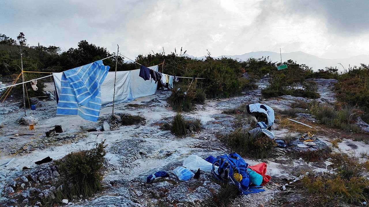
Finally reached Kem Gedung (2,055m).
Day 6: The Final Ascent and Challenging Descent
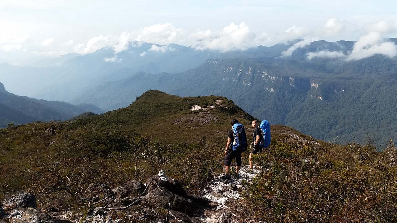
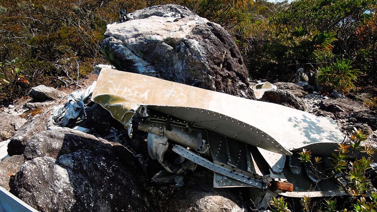
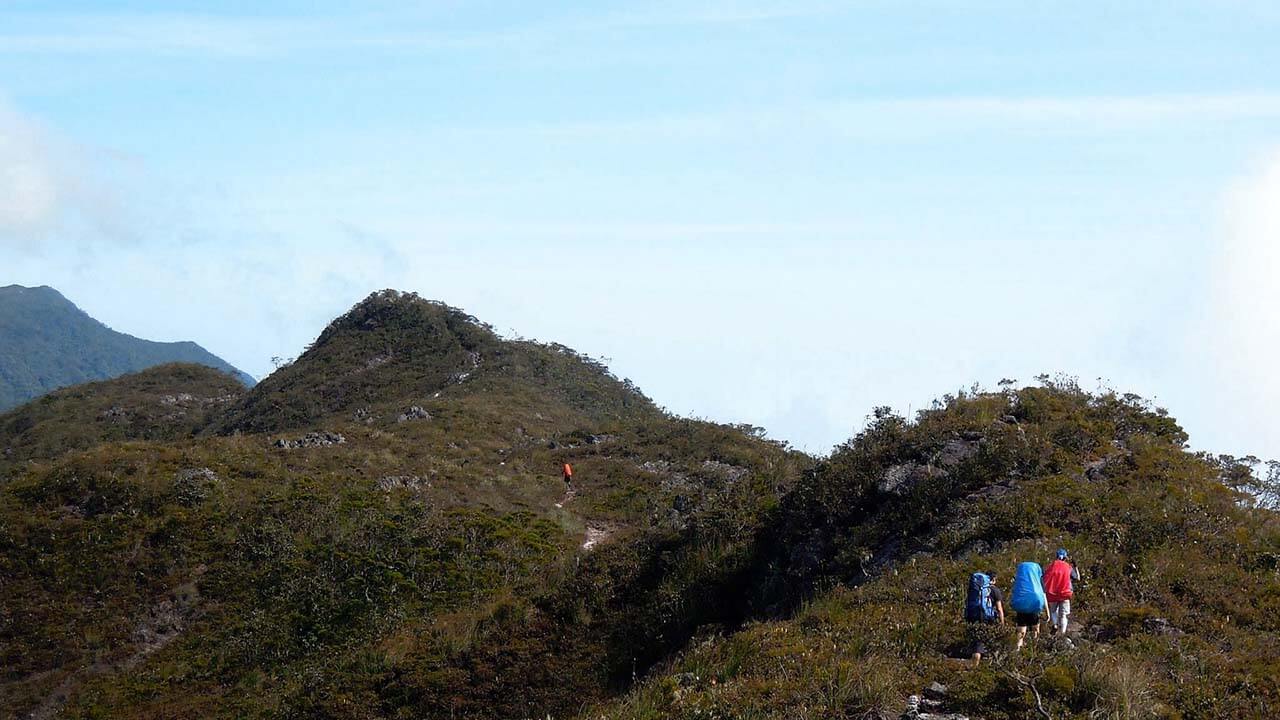
At around 9 a.m., our group commenced the final push towards the summit. As we made our way through the rugged terrain, a surprising sight awaited us—the remnants of a crashed aircraft. Its skeletal remains served as a stark reminder of a tragic incident that had occurred in the past. The exact history behind the crash remains elusive, but it added an element of mystery to our ascent.
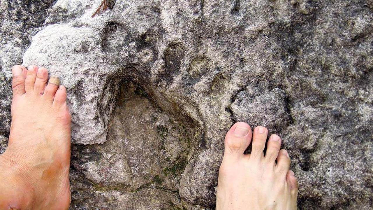
Continuing on our journey, we encountered a peculiar sight at the summit—an allegedly cemented footprint believed by locals to be the actual imprint of Hang Tuah, a legendary figure in Malaysian folklore. While its authenticity remains uncertain, the presence of such a relic sparked curiosity and speculation among our group.
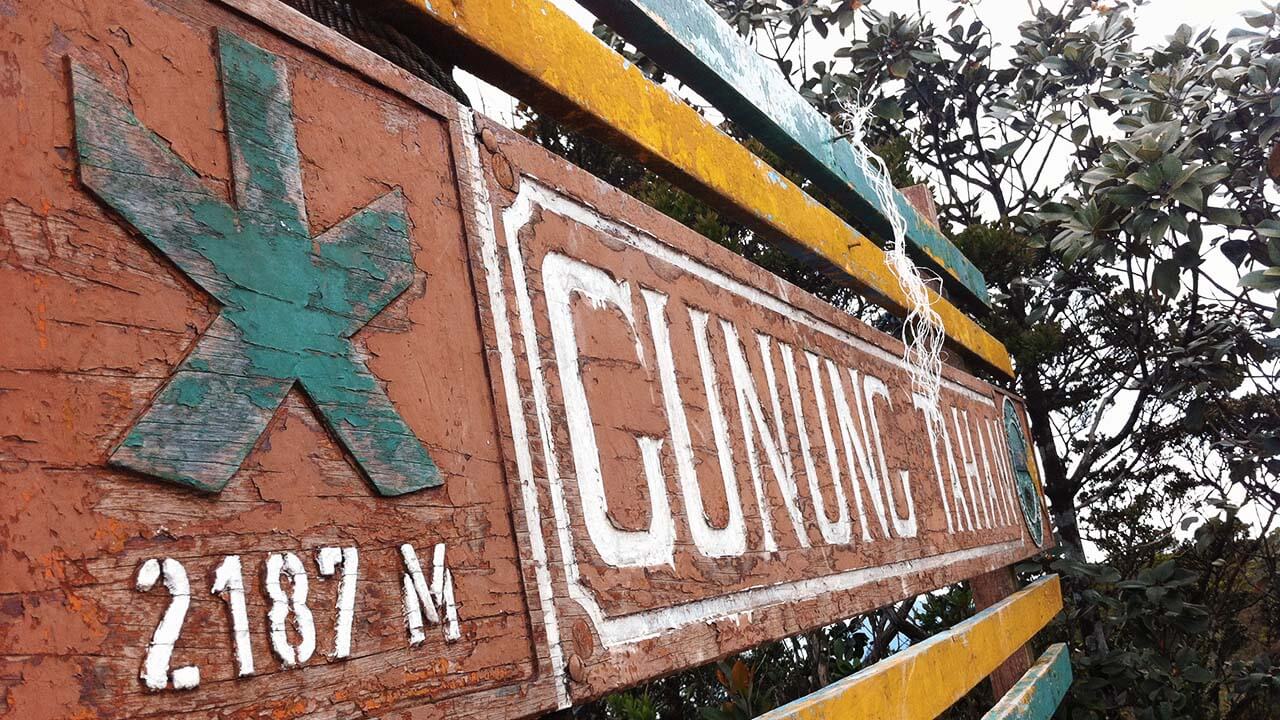
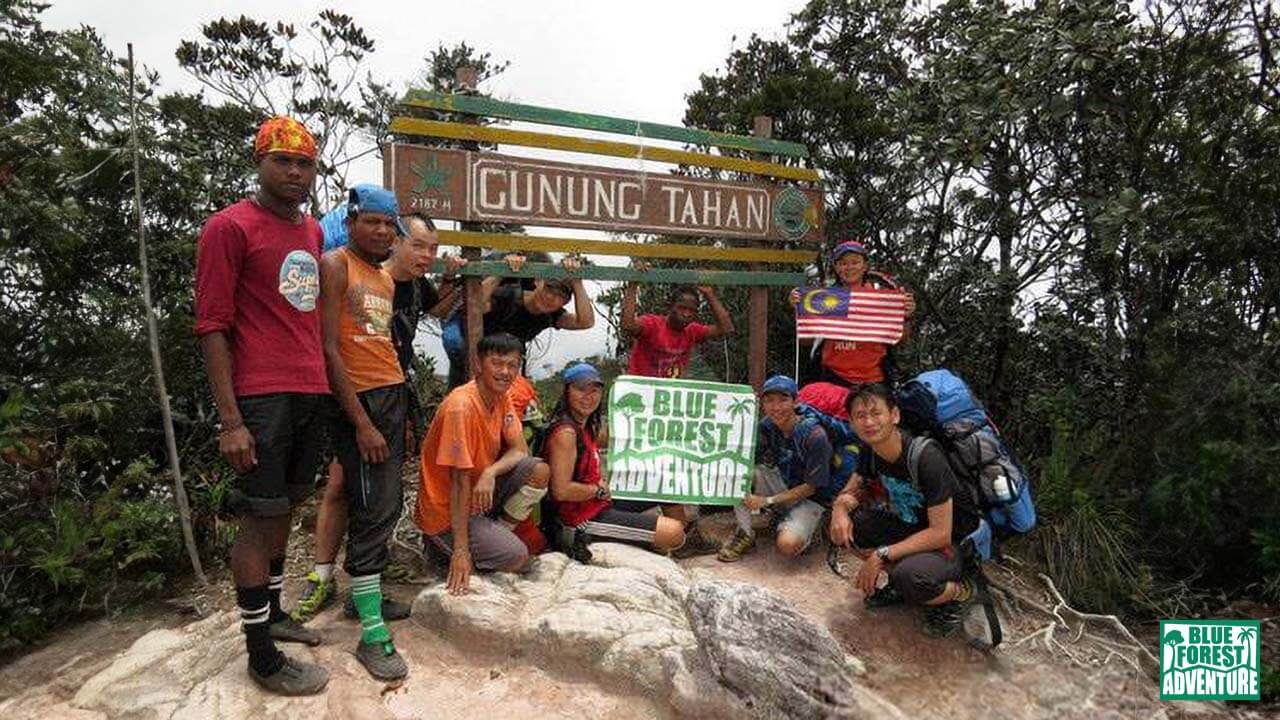
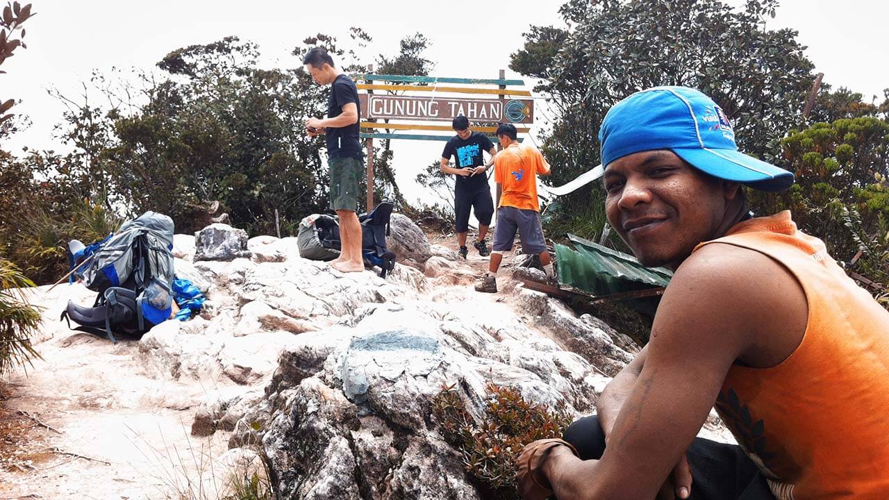
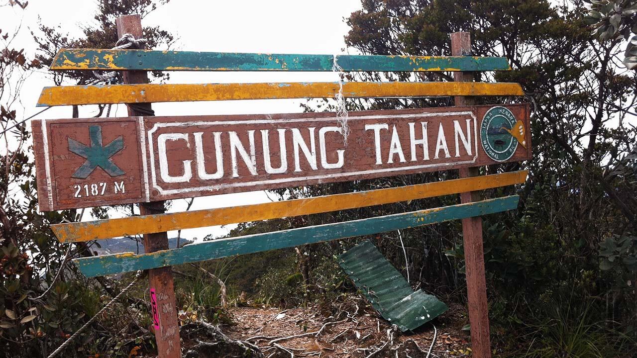
Gunung Tahan Summit (2,187m).
Eventually, I emerged into a clearing where the rest of the group awaited, accompanied by a gentle drizzle. If my memory serves me correctly, this clearing was Kem Belumut (1,493m), and we decided to push for the next camp site and set up camp there for the night. While our original plan was to camp at Pematang (874m) – which was another 5km / ~4 hours ahead, heavy rainfall greeted us as we approached in the late afternoon, forcing us to rethink our course. Cold and hungry, we trudged through the rain, arriving at Kem Kubang (1,406m). Despite the challenging conditions, we persevered in setting up our tents, though rainwater seeped in, causing a minor flood that required us to hastily remove the water using any available pieces of cloth. The frigid temperatures prompted us to take turns using a thermal blanket, providing a welcome respite from the cold. The sensation of warmth enveloped us, offering a comforting contrast to the wet and chilly surroundings.
As the rain eventually subsided, we gathered for dinner, replenishing our energy after a demanding day. Exhausted and soaked, we retired to our tents, seeking solace in the knowledge that our remarkable journey was drawing to a close.
Day 7: Home Sweet Home
We encountered several water sources on the way down. We went down to one and collected water, but inadvertently advanced using the wrong route. One of our teammates apparently overtook us during this period, with the objective of catching up with us. Little did he know that he was chasing ghosts (due to our mistake of taking the wrong turn).
Finally, we reached Kuala Juram somewhere around 2pm and met up with him. He reached half an hour ealier.
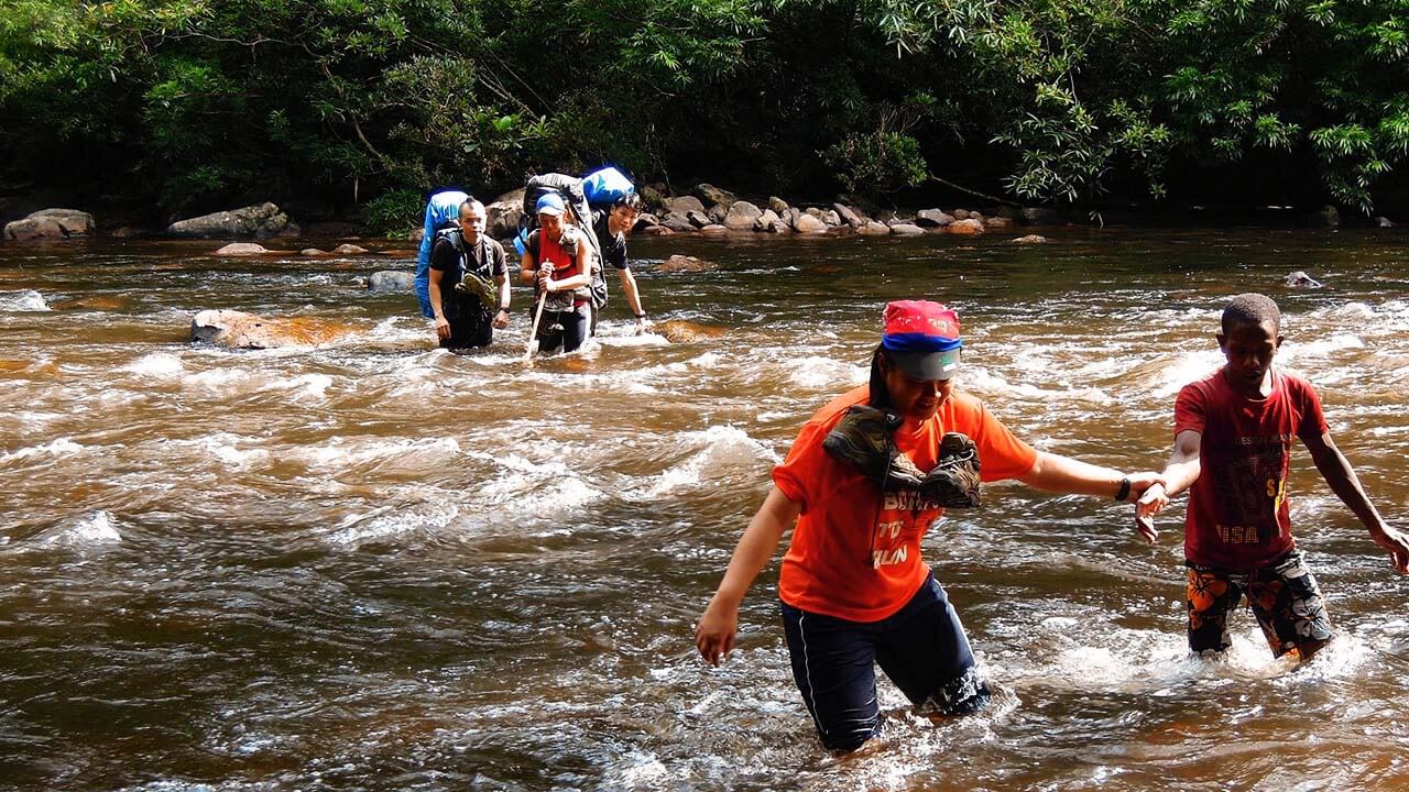
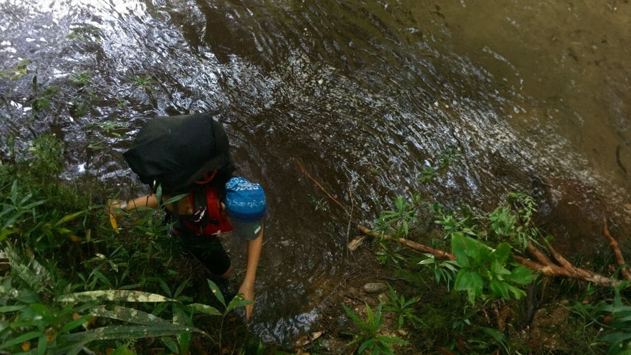
One of the many river crossings on the way back.
The rest of our group eventually reached and we showered/cleaned up briefly while waiting for transport to pick us up and take us back to the central office.
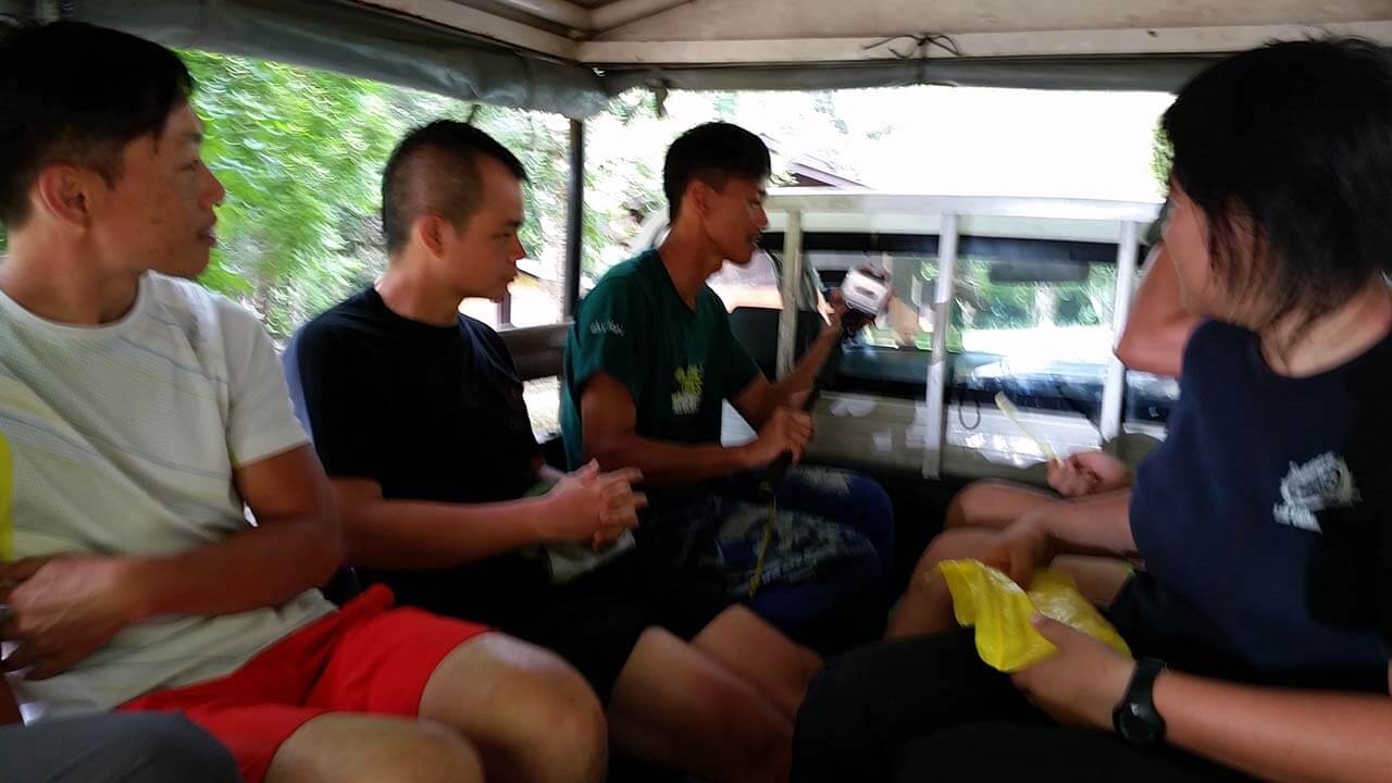
Two 4WD vehicles came shortly after. We were driven to Sg Relau, Merapoh’s office for a final checkup of our inventories. The drive was relaxing, windy, and bumpy at the same time. It was a change of momentum after moving around on foot for a week.
Once everything at the office was settled, a new vehicle arrived to drive us back to Kuala Tahan.
Most of us slept off during the journey and reached our destination around 8+ pm.
We regrouped and reclaimed all of our bags.
We said farewell to our other teammates and the guides and started our journey back home.
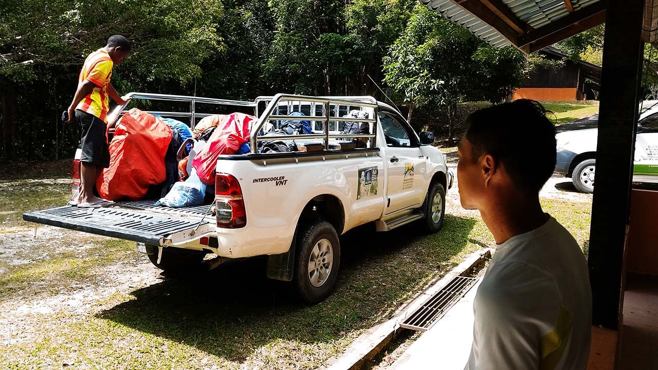
Our vehicle has arrived.
Out of nature and back to civilization.
Conclusion
I must express my gratitude for the great company and the organizers, Evie Chen and Ah V Hei. They did an exceptional job planning and coordinating the entire event. Special thanks to Evie, who not only organized everything but also cooked for us. Her dedication and meticulous planning made the journey smooth and enjoyable from start to finish.
The rain that accompanied us during the expedition was a remarkable addition. It turned out to be the best part of the entire journey. Despite the annoyance of the leeches that feasted on us, they left behind battle scars that serve as lasting memories. I remember having close to 10 leech bites all over my legs and abdomen, and it took weeks for them to heal. Nevertheless, these encounters with nature added depth to the experience.
The multiple river crossings were among the most interesting aspects of the journey. They proved to be more challenging than they appeared. The “Kasut Getah” shoes, rubber shoes commonly used by the local native guides, turned out to be the better choice for this type of terrain, especially in wet and rainy conditions. Specifically helpful on slippery rocky terrains such as river crossings.
In total, we covered a distance of more than 90 km, gaining and losing a total of over 5,000 meters in elevation. The scenery throughout the expedition was breathtaking, and it offered a multitude of challenges that tested our skills and resilience.
Looking ahead, I have a strong desire to embark on similar journeys in the future. Perhaps the next expedition could be from Kuala Tahan to Kuala Tahan, exploring new trails and experiencing different adventures.
Reached at the end of the Merapoh trail.
Blue Forest Adventure even has a year long itinerary planned out, so have a look and get in touch with Evie for more info.
Outdoor Videos?
Similar Posts
Escape the Concrete Jungle: Discover Willow Tree Camping Site Near Kuala Lumpur
Willow Tree Camping SiteHulu Langat, Selangor, Malaysia14th May 2022Willow Tree Camping SiteImagine a place where you can escape the hustle and...
Uncover the Hidden Paradise of Lembah Peladang Agropark Campsite in Sungai Buloh, Selangor!
Lembah Peladang Agropark CampsiteSungai Buloh, Selangor, Malaysia16 July 2022Lembah Peladang Agropark CampsiteImagine spending a night under the...
From Shoe Disaster to Summit Triumph: My Epic Bukit Kutu Hiking Experience
Bukit Kutu (1,053m)Kuala Lubu Bharu, Selangor, Malaysia29th Oct 2022My Epic Bukit Kutu Hiking ExperienceNestled in the breathtaking landscapes of...

