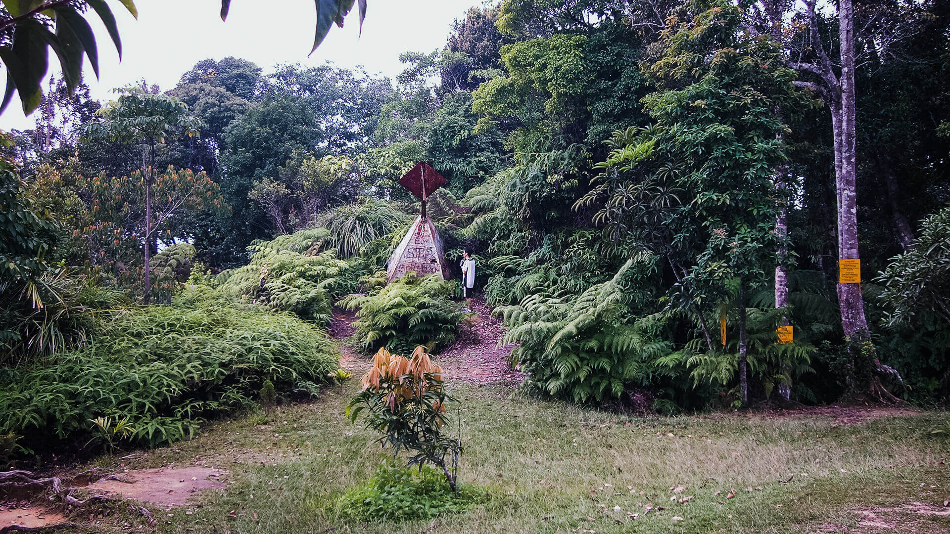
Gunung Angsi – Revisited (After the First One) + Video

Gunung Angsi (824m)
Gunung Angsi
This is my second visit to this mountain via Ulu Bendul after being introduced by a dear friend, around a week before. It goes without saying that new unexplored mountains are definitely worth exploring repeatedly during a short span of time. Taking into account the probability of you getting lost and the brand new discoveries, it’s best to take advantage of the level of excitement while it lasted. Last week’s exploration proved to be euphorical, as the uncertainties proved to be extremely motivational, gambling with a random set of expectations of what ahead of you. How would the terrain look and feel like? Would it be too difficult? How would the summit look like in the end?
As most of this has been answered on my first trip, this was mostly a quick revisit with a deeper objective of getting to know the intricacies of the track and the obstacles before us. Additionally, it’s always a good idea to share a new location such as this with other fellow hikers – the more the merrier. As everything still remained fresh in my memory, traversing through the path to the summit was relatively easy. A good lesson well learnt on this second trip was to always keep to your left at the beginning part of the hike, take your left every time you see one till you enter deeper into the forest and further away from the river. Beyond this point, the path to follow is pretty straightforward. Personally it’s quite difficult to get lost here, except perhaps for certain parts, particularly while on the way back to the car park.
Signage signalling the beginning of our adventure.
If your hiking schedule usually falls on the weekends, you’ll find a lot of families setting up camps beside the river. Picnic mats rolled out which subsequently filled with nice home-cooked food – to replenish the depleted energy after a nice long swim. You’ll be presented with this crowd usually in the late morning, near afternoon, more often than not usually after you’ve completed your hike.
You’ll find many interconnected rivers and streams all along the way in the early part of the hike.
The hike was pleasant, much more tiring than the previous one but was fun nonetheless. A very common checkpoint would be Kem Tangga Batu (Stone Ladder Camp – Literal translation), at approximately 30-40 percent mark, if I remember correctly. As the name suggests, it’s a conveniently constructed structure to imitate a mini flight of stairs, best used for resting or taking group photos.
Kem Tangga Batu
Around the 70-80 percent mark, we were presented with a technical rope climb in order to proceed. A strong grip and a firm footing would help greatly in this part.
An interesting change of pace for Angsi is that it starts off easy with minimal increase of elevation, going through relatively flat terrains and rivers, and once that ends, it just goes up all the way – no mercy.
Reached the summit without any issues, rested quite a bit at the top and started the journey back down after having a quick meal. May try the Bukit Putus trail when the time is right. Decided to record the descent using a Casio Exilim, manually held all the way down. Those were the days when camera mounts were still not widely available or was I still living in the cave? You may find the video right at the bottom of this post.
Technical rope climb and some photos at the top.
Enough of pictures, please find a video below covering the descent of Gunung Angsi – approximately 70-80 percent of the journey before the battery died on me.
Warning – This video has been digitally stabilized, but may still be a little bit shaky. May cause motion sickness, nausea or vomiting.
Sped-up descent video of Gunung Angsi. Recorded using Casio Exilim – Low video quality and slightly shaky (after digital stabilization) – by John Teh
Visit and subcribe to my Youtube Channel


