Day 4: Namche Bazaar to Tengboche – Everest Base Camp + Video
Everest Base Camp (5,600m)

Khumbu Glacier, Nepal
April – May 2016
WarningLong post ahead with lots of pictures!

Namche Bazaar to Tengboche

The whole trekking to Tengboche (3,900m) took us around 4 hours to reach (9.6km) and gained us around 400m in elevation, going through paths beside mountains, towns, more yaks, great sceneries and the 5th suspension bridge. Never been excited to see suspension bridge in my entire life.

One of the most memorable event that happened almost every morning was the slow progress of leaving behind the town we stayed in previously. A view that was confined into rooms and kitchens is now has gained a wider perspective.

Bukit Tabur East
Passing through towns and farmlands.
Photo by John Teh

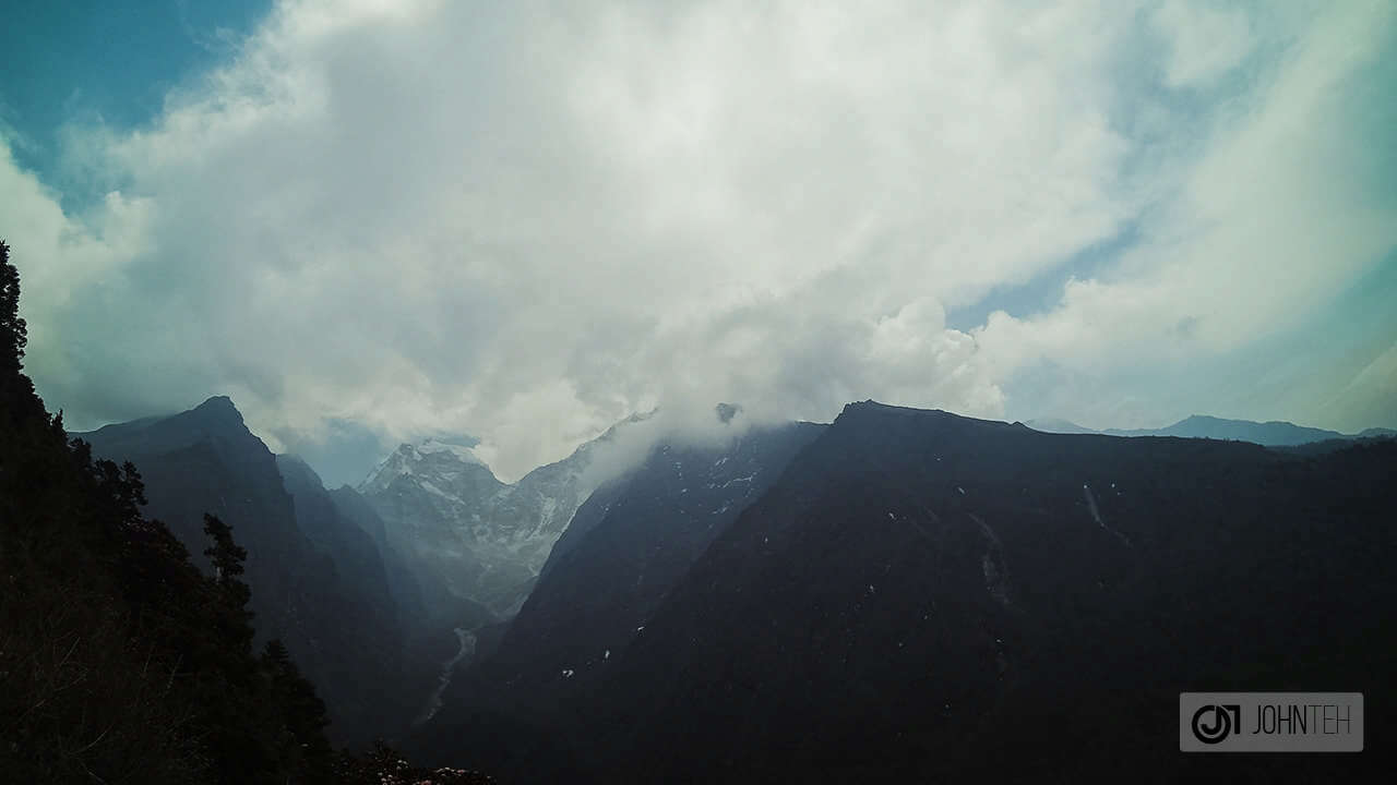
The first 5km of this trail was mostly flat terrain with very minimal elevation, maybe around 200m at most. It was a good time for a warmup and to get the engines rolling while preparing ourselves for the appearance of Ama Dablam (6,812m), Lhotse (8,516m), Nuptste (7,861m) and the top of Mount Everest (8,849m).

Namche Bazaar to Syangboche
Awesome view of the Everest mountain range further out in the distance.
Photo by John Teh
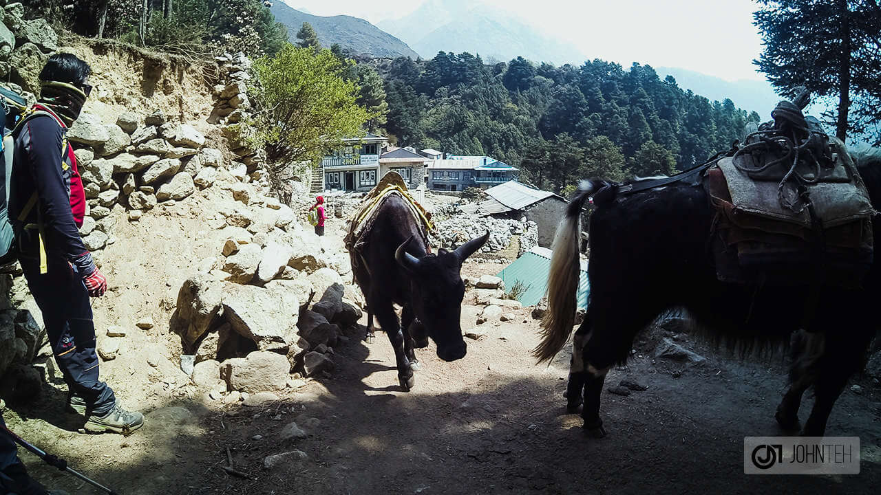
Along the trail, a herd of yaks overtook us along with a group of locals, probably transporting their goods to a nearby village, or just simply going through a standard traveling route to their workplace. The terrain started to mesh up with a more rocky mixture, giving a better grip when maneuvering steeper areas.
More yaks compared to donkeys now.
Photos by John Teh
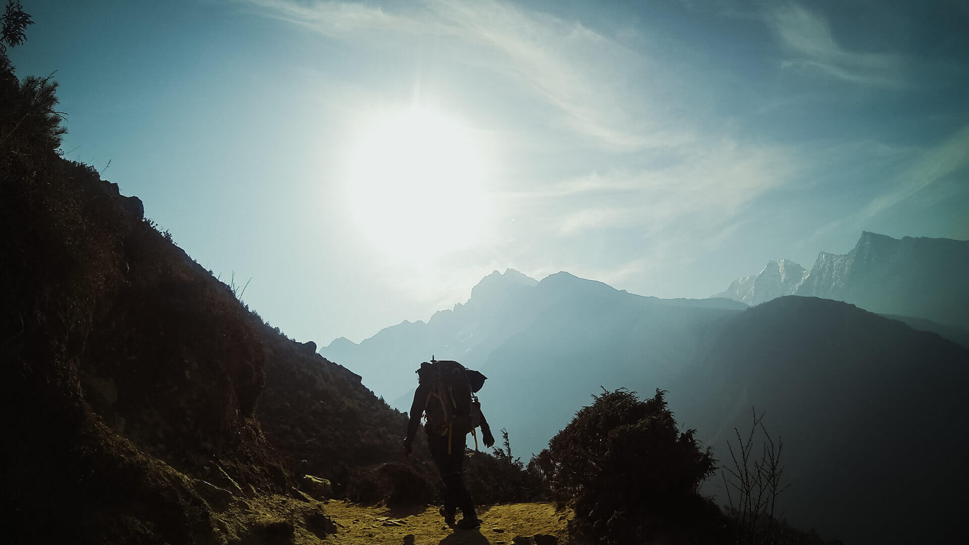
As we entered deeper into the “wilderness”, a nature’s typical obstacles out of the way, we were given the gift of space. The sky, the vastness of the landscape, and the valley below were accessible to anyone and everyone. The sun was truly the director of this scene, providing a breathtaking backdrop with stark and distant shadows to the whole stage.
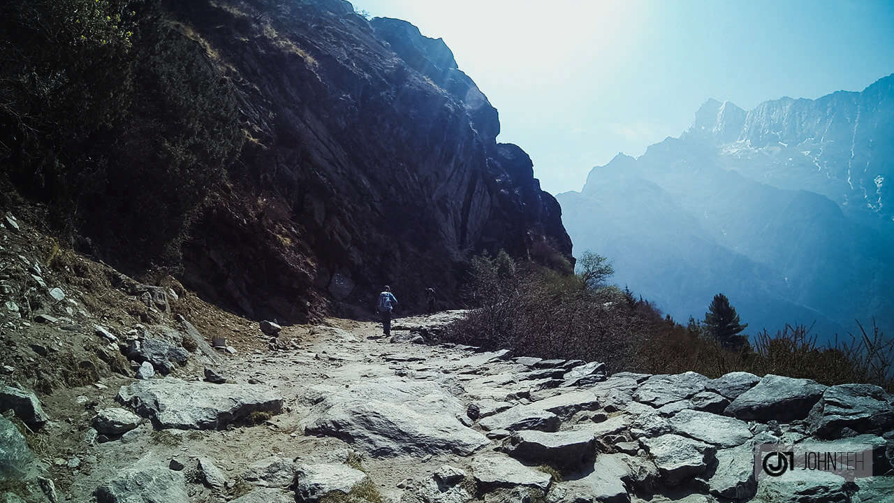
Approaching a 4km trail etched into the side of the valley wall.
Photos by John Teh
This almost-flat 4km trail gave us total uninterrupted view on our right, straight down the valley as well as anything as far as our eyes could see. This trail is also one of my favorites in the sense that the far end of it was constantly in sight, giving you visual access to the spiral path and the distance ahead of you.
Namche Bazaar to Tengboche
The trail’s view from another point of view.
Photos by John Teh
This long stretch of trail is constantly in good condition, primarily because it’s beautifully maintained by a group of local Sherpas. You’ll notice different individuals manning a station, advertising this and collecting donations. Feel free to donate at any amount you please.
Bukit Tabur East
A local sherpa’s donation station to support him in the maintenance of the trail.
Photo by John Teh
At the end of the 4km trail, we encountered a memorial Stupa, commemorating Everest 50th Anniversary 1953-2003, exclusively for Tenzing Norgay and the Sherpas of Everest. It was a popular Stupa indeeed, hosting a large group of trekkers at this point of time.
A memorial Stupa – Everest 50th Anniversary 1953-2003, Tenzing Norgay & The Sherpas of Everest.
Photos by John Teh
Slightly ahead, we managed to come across our porter, Jyatha – taking a well deserved break, gazing into the snow capped mountains and the bluish skyscape. We also caught a glimpse of both of our heavier bags being bundled together, forcing me to ponder if I actually over packed for this trip. He overtook us effortlessly after a short while.
Our friendly porter – Jyatha. Ama Dablam (6,812m) can be seen at the far end, right above Jyatha’s head.
Photos by John Teh
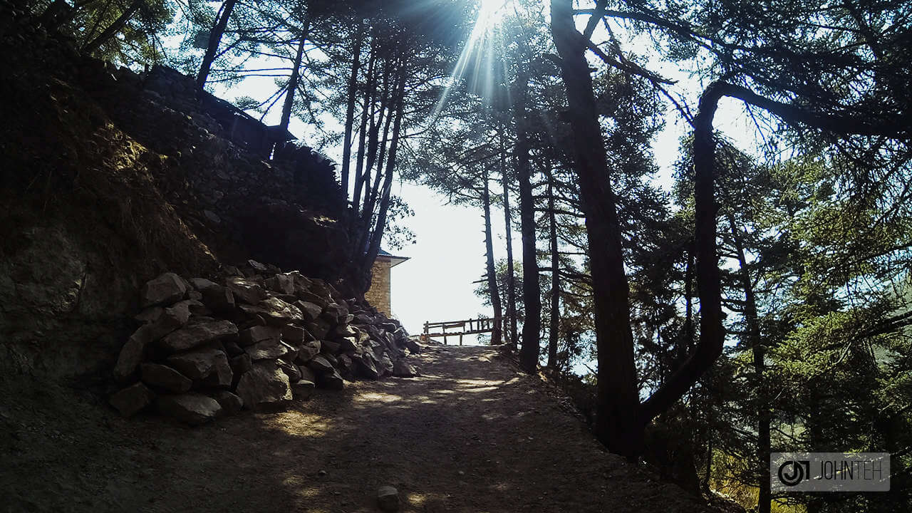
At this point, we left the rocky terrain and into a more junglish setup with less leafy trees. With more trees, we had less exposure to the sun, making it a more cooling experience. More trees also simply mean less view, but I guess that’s OK. We have been on the road for 1.5 hours so far at this point.
A nice path with a different type of trees. Bottom right – Jyatha catching up on us.
Photos by John Teh
Given a chance, this part of the journey would be a fantastic location to camp. Lots of trees, water with an excellent setting. Setting up a campfire with dried yak dungs, sleeping under the stars, etc. Unfortunately it wasn’t part of our itinerary. Maybe another time.
Bukit Tabur East
Came across a horse rider, patrolling the surrounding area.
Photo by John Teh
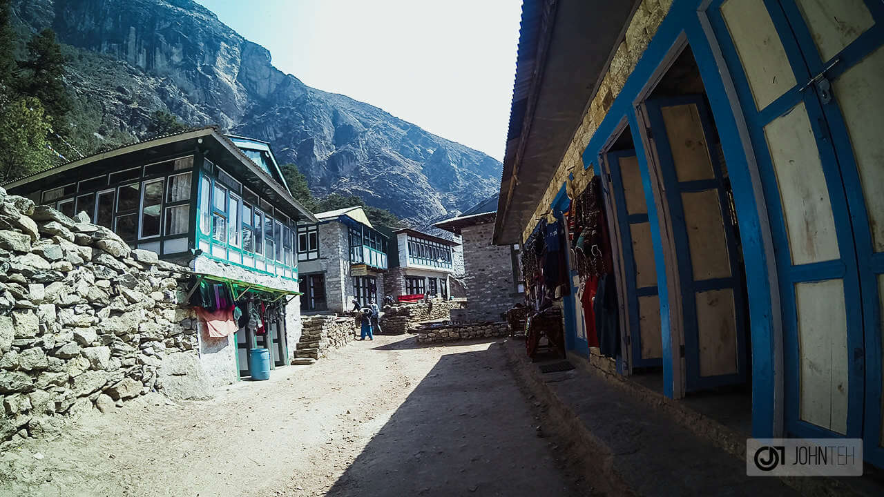
Got into a small town with a majority of them being lodgings for trekkers. If time permits, one could stop for a snack with a cup of tea. More often than not, the presence of towns and the slightest sign of civilization give you the notion that we’ve reached our destination, but it was still a little bit early in our journey so this was definitely a tease.
Passed through a small town and climbed a rocky stairway.
Photos by John Teh
Based on the photos above, the terrain went full rocky with man-made stairways. A few porters were taking a break, having small meals to fuel their journey ahead. Shortly thereafter, we entered yet another town, much busier than the previous one. The yaks we encountered were not carrying anything, perhaps picking up something ehad of them.
Tengboche
Ama Dablam (6,812m) at the far end middle of the picture.
Photo by John Teh
The much awaited fifth suspension bridge was right in front of us at this point, after descending down to the valley quite a bit. Smack right in the middle of the day, the bridge was surprisingly empty, with only a few visitors along the way. I don’t know why I love suspension bridges so much but a definite highlight of the day.
The fifth suspension bridge at Punkli Tenga. It’s half past noon at this point.
Photos by John Teh
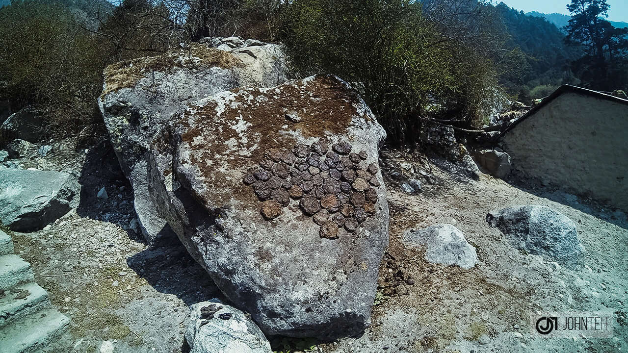
Beyond the bridge, it’s uphill all the way, passing through small villages, which allowed some of us to stop for our occasional toilet breaks. We saw a newly prepared and molded yak dungs being dried in the open sun, to be used as burning fuel. Interestingly enough, the standard aroma was almost non-existent.
Dried yak dung as the fuel source for heating and cooking.
A bunch of wooden planks ready to be transported.
At this point, I was too tired to capture anymore photos or videos and concentrated on our journey to Dingboche. We lost 300m of elevation as we approach the suspension bridge and had to gain another 500m within a short span of 3km. As we began to gain more elevation, we started to get above the tree line and enjoyed some of the beautiful views of the valley down below.

Tomorrow, we’ll leave Tengboche for Dingboche (4,410m) which will require an estimated trekking time of around 6 hours (10.5km)

Day 4 – Namche Bazaar to Tengboche video below for your viewing pleasure. Nothing beats the view but the main highlight for this video would be the crossing of the fifth suspension bridge.

Day 4 – Namche Bazaar to Tengboche
Everest Base Camp – Visit my Youtube Channel for more videos.

Outdoor Videos?

Visit my Youtube channel for outdoor videos and adventures!